 eAtlas Data Catalogue
daily
Type of resources
Topics
Keywords
Contact for the resource
Provided by
Formats
Representation types
Update frequencies
status
-
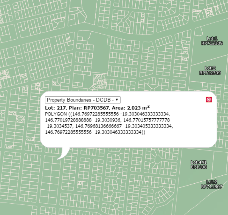
This polygon layer is a 'lite' version of the Digital Cadastral Database (DCDB) showing minimal attribute data about the property boundaries e.g.: base lot polygons, Lot and Plan attributes and an accuracy statement covering the whole of Queensland. See additional information also. This data is updated nightly on the QSpatial portal, but only infrequently on the eAtlas. The versions setup on the eAtlas are retained for historic purposes. This polygon layer is a 'lite' version of the base cadastre in the Digital Cadastral Database (DCDB) showing minimal attribute data about the property boundaries. The dataset does not contain information on volumetric, strata lots, multi level building format lots or secondary interest such as easements and covenants. A complete extract of the state or by an individual local government area is available from the Queensland Spatial Catalogue. EATLAS: This metadata record was created for the eAtlas and is not authoritative. It is based on a copy of the metadata supplied with the latest version of this dataset. Please contact QSpatial for the original metadata or more information. Data Dictionary 2023-05-29: LOT: Examples: 1, 36, 5026 PLAN: Examples: SP232048, RP195536, CA311276, PH251, EI835473 ACC_CODE: Examples: B&D ENTRY CONTROLLED - 0.1M, UPGRADE IMAGERY - 25M, UPGRADE ADJUSTMENT - 1M, STANDARD 1:2500 CADASTRAL MAP - 1.5M O_SHAPE_Le: Examples: 0.068803813631, 0.00093317039017. eAtlas Note: The units of this attributes is unknown, but it is not the shape perimeter in metres or km. O_SHAPE_Ar: Examples: 5.0887917895e-08 eAtlas Note: The units of this attributes is unknown, but it is not the shape area in square metres or square km. Change Log: - 2012-07-15: Original version setup in the eAtlas - 2016-08-18: The LOT_AREA attribute is no longer available. - 2023-05-29: Added a new version of the dataset.