 eAtlas Data Catalogue
NESP MaC Project 3.17 Locating Unidentified Reef and Habitat Features in the Northern Australian Seascape 2023-2025 (AIMS, UQ)
This record provides an overview of an NESP Marine and Coastal Hub research project. For specific data outputs from this project, please see child records associated with this metadata.
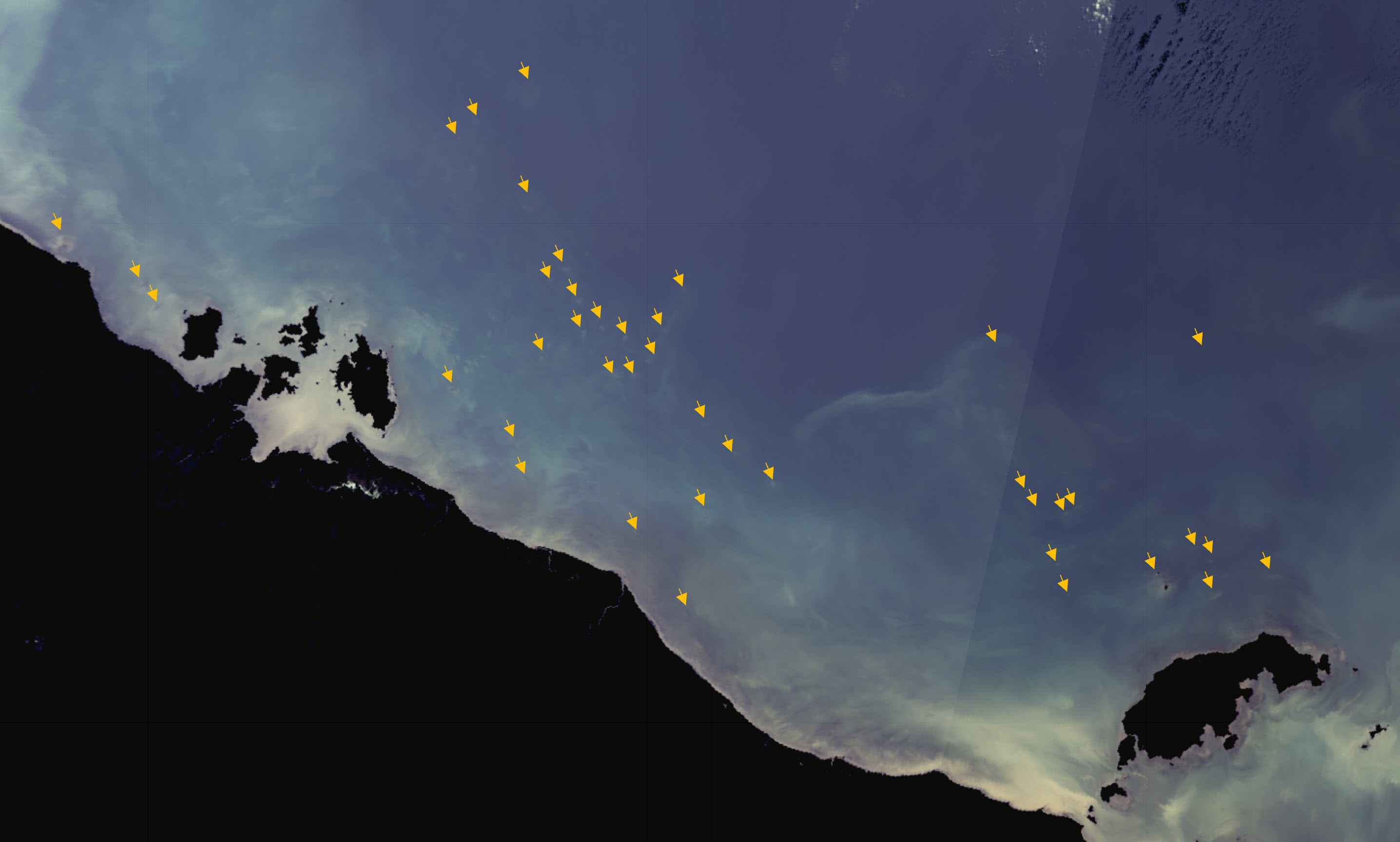
This project will map the reefs of the northern Australian seascape, from central Western Australia, through to western Cape York in Queensland. Reefs are hotspots of conservation as they provide habitat for numerous marine species but are poorly mapped for much of northern Australia. This project will deliver datasets of reef boundaries, satellite imagery optimised for the marine environment, and geomorphic and benthic habitat maps for shallow clear reefs based on improvements to the Allen Coral Atlas. These products are targeted at assisting in the planning and evaluation of coastal development in northern Australia, helping to ensure that sensitive high value habitats are identified and considered in development proposals. This project will use satellite imaging techniques to map this region based on methods consistent with existing reef mapping of the Great Barrier Reef, Torres Strait, and the Coral Sea.
Planned Outputs
• Marine optimised satellite imagery for northern Australian seascape dataset (AIMS) [spatial dataset]
• Reef boundary mapping for northern Australia seascape dataset (AIMS) [spatial dataset]
• Improved shallow water habitat dataset (UQ) [spatial dataset]
• Updated Benthic and Geomorphic Reference Data for Global Coral Reef Mapping (Western Australia, Timor Sea and Arafura Sea regions) dataset (UQ) [spatial dataset]
• Technical report on Standard Operating Procedures for mapping reef boundaries (AIMS, UQ)
• Final technical report with analysed data and a short summary of recommendations for policy makers of key findings [written]
Simple
Identification info
- Date (Creation)
- 2023-03-30T00:00:00
- Purpose
- This project aims to develop datasets that will allow the identification of reef features across the northern Australian seascape from Western Australia, Northern Territory through to western Cape York in Queensland, with the primary goal of ensuring that the boundary of all known reefs and as many as possible new reef features are mapped. The primary goal of developing these datasets is to facilitate the consideration of reef habitats in environmental impact assessments across northern Australia.
- Credit
- Team members: Eric Lawrey (AIMS), Marc Hammerton (AIMS), Chris Roelfsema (UQ), Mitchell Lyons (UQ), Kathryn Markey UQ), Rachel Bycroft (Aerial Architecture)
- Credit
- National Environmental Science Program (NESP) Marine and Coastal Hub
- Credit
- Department of Climate Change, Energy, the Environment and Water (DCCEEW), Australian Government
- Credit
- In addition to NESP (DCCEEW) funding, this project is matched by an equivalent amount of in-kind support and co-investment from project partners and collaborators.
Principal investigator
Lawrey, Eric, DrAustralian Institute of Marine Science
- Topic category
-
- Biota
- Oceans
Extent
Extent
- Description
- Project extent

- Keywords (dataSource)
-
- National Environmental Science Program (NESP) Marine and Coastal Hub
- Keywords (Theme)
-
- marine
- AODN Geographic Extents Vocabulary
-
- Coastal Waters (Australia)
Resource constraints
- Classification
- Unclassified
Resource constraints
- Use limitation
- The data collections described in this record are funded by the Australian Government Department of Climate Change, Energy, the Environment and Water (DCCEEW) through the NESP Marine and Coastal Hub.
Resource constraints
- Linkage
-
http://i.creativecommons.org/l/by/4.0/88x31.png
License Graphic
- Title
- Creative Commons Attribution 4.0 International License
- Website
-
http://creativecommons.org/licenses/by/4.0/
License Text
- Language
- English
- Character encoding
- UTF8
Distribution Information
- OnLine resource
- NESP Marine and Coastal Hub website
- OnLine resource
- Project 3.17 page on NESP MaC hub website (Reports, Factsheets)
- OnLine resource
- NESP MaC - Round 3 page
Metadata
- Metadata identifier
- urn:uuid/58f3a091-2463-4963-a908-2a5505e2baf9
- Language
- English
- Character encoding
- UTF8
Point of contact
eAtlas Data ManagerAustralian Institute of Marine Science (AIMS)
- Parent metadata
Type of resource
- Resource scope
- Field session
- Name
- NESP MaC hub Project 3.17
- Metadata linkage
-
https://eatlas.org.au/data/uuid/58f3a091-2463-4963-a908-2a5505e2baf9
Point of truth URL of this metadata record
- Date info (Creation)
- 2022-05-10T16:08:28
- Date info (Revision)
- 2023-09-20T03:59:53
Metadata standard
- Title
- ISO 19115-3:2018
Overviews
Spatial extent

Provided by
