 eAtlas Data Catalogue
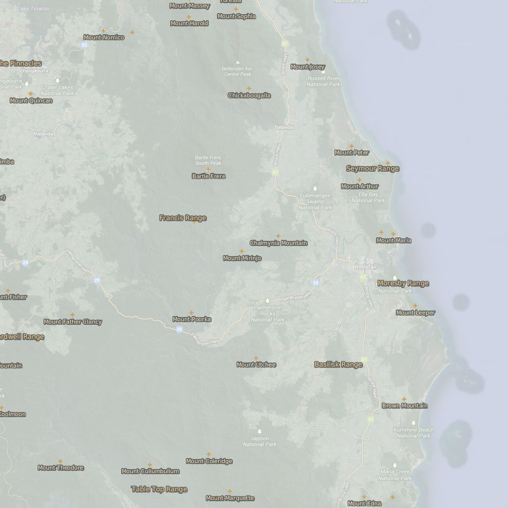
Wet Tropics Bioregion - Mountain locations (WTMA)
This dataset contains point features depicting mountains, peaks, mountain ranges and hills and their names. Ranges are located with a point or series of points in the approximate vicinity of the feature.
Mountain data originated from 1:250,000 scale AUSLIG supplied topographic data (repromats). Corrections were made to locate the points accurately to the 1:100,000 scale National Topographic Map Series. Georeferenced Topographic Maps are dated 1966.
This dataset consists of a 90 KB point shapefile containing 344 features.
95% of points within the Mountains coverage were located to the 1:100,000 scale Topographic maps Series. Some smaller hills, mountains and ranges shown on the 1:100,000 scale Topographic map Series, not in the original source data, have not been included in this dataset. 90% of the points are within +/- 50 metres of true position.
Data reproduced with permission of Wet Tropics Management Authority
This metadata was prepared for the eAtlas and is not authoritative. Please contact the Wet Tropics Management Authority for an authoritative record.
Simple
Identification info
- Date (Revision)
- 2009-04-01T10:43:00
- Status
- Completed
- Topic category
-
- Elevation
Extent
Extent
))
Resource constraints
- Use limitation
- Wet Tropics Management Authority
- Use constraints
- Copyright
Resource constraints
- Use limitation
- This dataset was made available to the eAtlas from WTMA under a restrictive non-commercial license. This license has restrictions to: a) not make the data available to a third party by sale or otherwise; and b) not sell products derived from the data; and c) not use the data to cause substantial distortion to normal competitive arrangements; and d) not use the data to derive income or gain a financial return. The full license is stored with the datasets. Base data/Data reproduced with permission of Wet Tropics Management Authority.
- Use constraints
- License
Resource constraints
- Use limitation
- Full citation: Wet Tropics Management Authority (2013). Mountains locations of the Wet Tropics Bioregion of Queensland. Wet Tropics Management Authority, Cairns.
- Language
- English
- Character encoding
- UTF8
- Supplemental Information
- Attributes: - NAME: (Mount Abbot, Bald Hill, Black Trevethan Range) Name of the mountain, hill, peak or range. - DESCRIPTIO: (Mountain, Hill, Peak, Mountain Range)
Distribution Information
- Distribution format
-
- ESRI Shapefile
- OnLine resource
- wtma:WT_WTMA_Mountain
- OnLine resource
- Interactive map of this dataset
- OnLine resource
- Wet Topics Bioregion Mountain locations (mountains, ranges, peaks and hills) [Google Earth KMZ, 10kB]
- OnLine resource
- eAtlas Web Mapping Service (WMS) (AIMS)
Reference System Information
- Reference system identifier
- EPSG/EPSG:28355
Metadata
- Metadata identifier
- 85963b15-504f-444c-860b-3ce58de5ae6e
- Language
- English
- Character encoding
- UTF8
Point of contact
Lawrey, Eric, Dr.Australian Institute of Marine Science (AIMS)
Type of resource
- Resource scope
- Dataset
- Metadata linkage
-
https://eatlas.org.au/data/uuid/85963b15-504f-444c-860b-3ce58de5ae6e
Point of truth URL of this metadata record
- Date info (Creation)
- 2014-09-03T00:00:12
- Date info (Revision)
- 2014-09-03T00:00:12
Metadata standard
- Title
- ISO 19115-3:2018
Overviews
Spatial extent
Provided by
