 eAtlas Data Catalogue
NESP MaC Project 3.10 – A partnership approach to filling key knowledge gaps on dugongs in northern Australia using novel technologies, 2023-2026 (JCU, CDU, DBCA)
This record provides an overview of the NESP Marine and Coastal Hub small-scale study - Project 3.10 – A partnership approach to filling key knowledge gaps on dugongs in northern Australia using novel technologies . For specific data outputs from this project, please see child records associated with this metadata.
In Australia, the dugong is protected under the EPBC Act 1999 as a listed migratory, and listed marine species, it is also a Matter of National Environmental Significance. The dugong is culturally significant to the coastal Aboriginal and Torres Strait Islander peoples of northern Australia and has a high biodiversity value. This project includes five activities that will contribute to addressing key knowledge gaps about the spatial and temporal patterns in the distribution, abundance, connectivity and health of dugong populations. The project is designed to inform management in several regions of high value habitat across northern Australia. Transversal to the activities described below is a strong partnership approach with Traditional Owners and members of the wider community. The project will be co-designed, co-produced and will co-deliver research and monitoring outputs. The studies will utilise and advance emerging technologies (e.g., aerial images collected from planes and drones, Artificial Intelligence, population genomics) with the ultimate goal of enhancing data quality, reducing research and monitoring costs, and increasing accessibility of monitoring tools to non-experts.
Activity 1: Assessing trends in the distribution and abundance of dugongs during the transition to imagery surveys along the eastern coast of Queensland
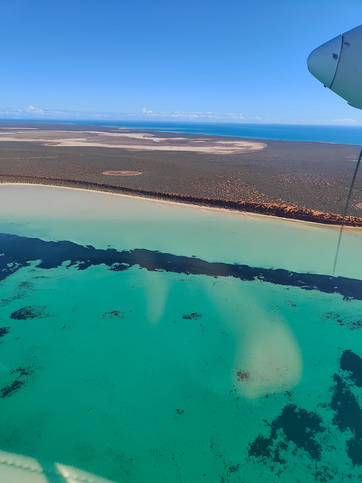
Activity 2: Assessing the trends in the distribution and abundance of dugongs during the transition to imagery survey in the Shark Bay and Ningaloo/Exmouth Gulf area
Activity 3: Using population genomics approaches to identify populations and their level of connectivity across northern Australia
Activity 4; Assessing the body size and body condition of dugongs using drone-based photogrammetry
Activity 5: Developing community-led dugong monitoring with traditional owners in the Kimberley region.
Planned Outputs
• Dugong sighting location and count data from observer aerial survey data [spatial dataset]
• Imagery from aerial surveys and photogrammetry
• Genomic sequencing data and tissue samples
• Statistical code or script files
• Final technical report with analysed data and a short summary of recommendations for policy makers of key findings [written]
• Peer-reviewed open access publication
Simple
Identification info
- Date (Creation)
- 2023-03-31T00:00:00
- Credit
- Christophe Cleguer (JCU), Rachel Groom (CDU), Holly Raudino (DBCA), Amanda Hodgson (Murdoch University), Helene Marsh (JCU), Kelly Waples (DBCA), Jan Strugnell (JCU), Ira Cooke (JCU)
- Credit
- National Environmental Science Program (NESP) Marine and Coastal Hub
- Credit
- Department of Climate Change, Energy, the Environment and Water (DCCEEW), Australian Government
- Credit
- In addition to NESP (DCCEEW) funding, this project is matched by an equivalent amount of in-kind support and co-investment from project partners and collaborators.
Principal investigator
Christophe CleguerJames Cook University
Principal investigator
Holly RaudinoDepartment of Biodiversity, Conservation and Attractions (WA)
- Topic category
-
- Biota
Extent
Extent
- Description
- Project extent
Temporal extent
- Time period
- 2021-09-01 2022-09-01
Extent
Extent
- Description
- Marine and coastal region of Australia

- Keywords (dataSource)
-
- National Environmental Science Program (NESP) Marine and Coastal Hub
- Keywords (Theme)
-
- marine
- AODN Geographic Extents Vocabulary
-
- Coastal Waters (Australia)
Resource constraints
- Classification
- Unclassified
Resource constraints
- Use limitation
- The data collections described in this record are funded by the Australian Government Department of Climate Change, Energy, the Environment and Water (DCCEEW) through the NESP Marine and Coastal Hub.
Resource constraints
- Linkage
-
http://i.creativecommons.org/l/by/4.0/88x31.png
License Graphic
- Title
- Creative Commons Attribution 4.0 International License
- Website
-
http://creativecommons.org/licenses/by/4.0/
License Text
- Language
- English
- Character encoding
- UTF8
Distribution Information
- OnLine resource
- NESP Marine and Coastal Hub website
- OnLine resource
- NESP MaC - Round 3 page
Metadata
- Metadata identifier
- urn:uuid/c7f3832f-53cc-4d3d-9c4c-53d8052fc75e
- Language
- English
- Character encoding
- UTF8
Point of contact
eAtlas Data ManagerAustralian Institute of Marine Science (AIMS)
- Parent metadata
Type of resource
- Resource scope
- Field session
- Name
- NESP MaC hub Project {Project code}
- Metadata linkage
-
https://eatlas.org.au/data/uuid/c7f3832f-53cc-4d3d-9c4c-53d8052fc75e
Point of truth URL of this metadata record
- Date info (Creation)
- 2022-05-10T16:08:28
- Date info (Revision)
- 2023-09-20T03:52:48
Metadata standard
- Title
- ISO 19115-3:2018
Overviews

Spatial extent

Provided by
