 eAtlas Data Catalogue
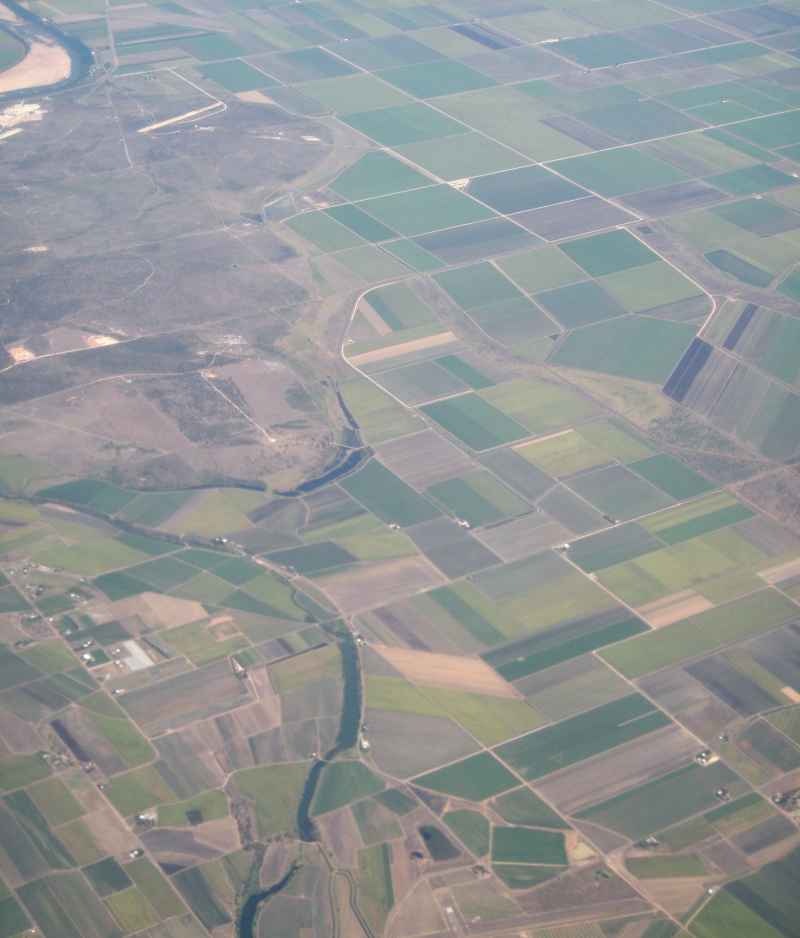
Tourism and sugar mills in the Great Barrier Reef coastal zone (NERP TE 9.4, JCU)
This dataset corresponds to the polygon digitisation of tourism sites and sugar mills. The locations of the tourism sites were obtained from a commercial database of tourism operators (Australian Tourism Warehouse). The location of sugar mills was obtained from information gathered on the internet and point locations were created for each mill. These datasets were developed to fill in missing source datasets for the scenario modelling used for the coastal development modelling. The tourism dataset was incorporated to the 2009 QLUMP to provide inclusion of tourism land use in this dataset. The sugar mill dataset was developed to provide the distances from sugar land use to mill and determine the restrictions for future expansion.
Methods:
Tourism dataset: Tourism corresponds to the official definition used by the World Trade Organisation as "Tourism comprises the activities of persons travelling to and staying in places outside their usual environment for not more than one consecutive year for leisure, business and other purposes." It is generally accepted that in most instances tourism activities are conducted from approximately 50km of the domicile. The definition of tourism land use in this study is areas with infrastructure and areas of cleared land that would not have existed if it were not for demand from tourism and hospitality and the ability to gain economic benefits from that tourism as well as urban zones created to accommodate required staff and services, green areas etc. Tourism land use is not part of the QLUMP land use map. It was manually added to this dataset using data on tourism infrastructure from a private company (the Australian Tourism Data Warehouse) that registers tourism-related businesses and records geographical coordinates of businesses. Buffers around point locations were created to acknowledge for different sizes of buildings/carparks etc. Governmental data of recreational areas and airport facilities obtained from GeoScience Australia were added. The tourism layer was improved but is still not inclusive of all tourism area in 2013.
Sugar mill dataset: The location of sugar mills was obtained from information gathered on the internet and point location were created for each mill. It includes Mossman mill, Pleystowe mill, Raceway mill, Marian mill, Farleigh mill, Tableland mill, Mulgrave central mill, Babinda mill, South Johnstone mill, Tully mill, Victoria mill, Macknade mill, Invicta mill, Pioneer mill, Kalamia mill, Inkerman mill, Prosperine mill, Plane creek mill.
Format:
GBR_TourismLandUse2013.shp (and associated files as part of shapeflie)
This layer is a polygon shapefile representing all areas of land use associated with tourism in the GBR coastal zone.
GBR_CoastSugarMills2013.shp (and associated files as part of shapeflie)
This layer is a point shapefile containing all locations of sugar mills in operation as in March 2013 in the GBR coastal region or in close proximity.
Simple
Identification info
- Date (Publication)
- 2015-01-19
Principal investigator
Augé, Amélie, DrAustralian Research Council Centre of Excellence for Coral Reef Studies (JCU)
Collaborator
Pressey, Bob, Prof.Australian Research Council Centre of Excellence for Coral Reef Studies (JCU)
Point of contact
Augé, Amélie, DrAustralian Research Council Centre of Excellence for Coral Reef Studies (JCU)
- Spatial representation type
- Vector
- Topic category
-
- Planning cadastre
Extent
Extent
- Description
- Coastal Zone

Temporal extent
- Time position
- 2013-01-01T00:00:00
- Time position
- 2013-12-31T00:00:00
Resource constraints
- Linkage
-
http://i.creativecommons.org/l/by/3.0/au/88x31.png
License Graphic
- Title
- Creative Commons Attribution 3.0 Australia License
- Website
-
http://creativecommons.org/licenses/by/3.0/au/
License Text
- Language
- English
- Character encoding
- UTF8
Distribution Information
- OnLine resource
- Project web site
- OnLine resource
- eAtlas Web Mapping Service (WMS) (AIMS)
- OnLine resource
- Tourism LandUse and Coastal Sugar Mills Shapefiles. [Zip 584 kB]
- OnLine resource
- nerp:GBR_NERP-TE-9-4_JCU_Coastal-sugar-mills_2013
- OnLine resource
- nerp:GBR_NERP-TE-9-4_JCU_Tourism-landuse_2013
Metadata constraints
- Linkage
-
http://i.creativecommons.org/l/by/3.0/au/88x31.png
License Graphic
- Title
- Creative Commons Attribution 3.0 Australia License
- Website
-
http://creativecommons.org/licenses/by/3.0/au/
License Text
Metadata
- Metadata identifier
- urn:uuid/bfc4e6ee-25db-410e-8590-63762f901829
- Language
- English
- Character encoding
- UTF8
Point of contact
eAtlas Data ManagerAustralian Institute of Marine Science (AIMS)
Type of resource
- Resource scope
- Dataset
- Metadata linkage
-
https://eatlas.org.au/data/uuid/bfc4e6ee-25db-410e-8590-63762f901829
Point of truth URL of this metadata record
- Date info (Creation)
- 2015-01-20T16:07:52
- Date info (Revision)
- 2023-09-18T07:35:45
Metadata standard
- Title
- ISO 19115-3:2018
Overviews
Spatial extent

Provided by
