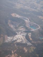
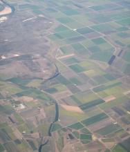
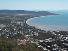
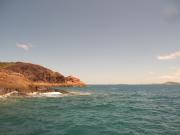
Media for project "NERP TE Project 9.4 - Conservation planning for a changing coastal zone (JCU)"
This page contains all media associated with this project. For more information about the project and its datasets please go to the project metadata record https://eatlas.org.au/data/uuid/6cc54c0f-4dea-4adf-be81-438a82f68a50.
Images
Articles
Published on
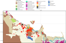
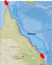
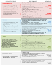
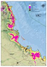
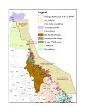
It’s a classic conservation planning problem.