 eAtlas Data Catalogue
Creation year
2003
Type of resources
Topics
Keywords
Contact for the resource
Provided by
Years
Representation types
status
Scale
From
1
-
1
/
1
-
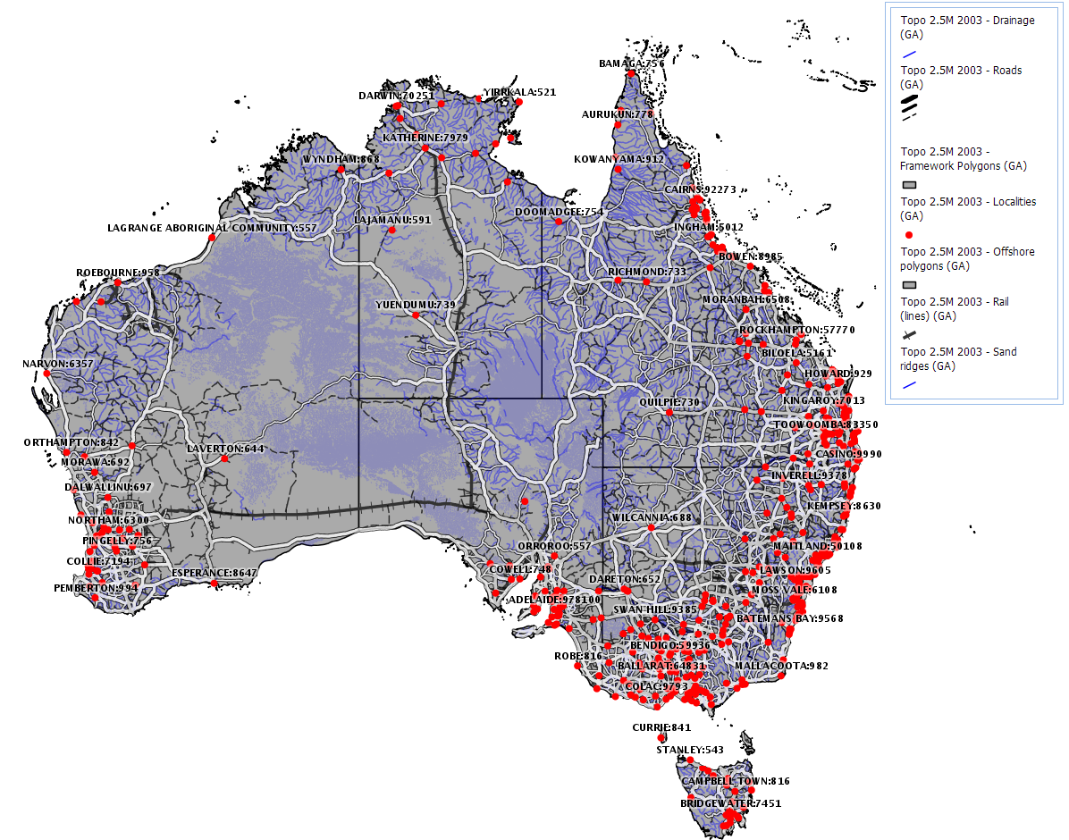
The GEODATA TOPO 2.5M 2003 product is a national seamless data product aimed at regional or national applications. It is a vector representation of the Australian landscape as represented on the Geoscience Australia 1:2.5M general reference maps and is suitable for GIS applications. It supersedes the TOPO 2.5M 1998 product by being developed according to GEODATA standards as described below. The data was derived from GEODATA TOPO 250K Series 2 data where available and GEODATA TOPO 250K Series 1 and has double precision accuracy. The product consists of eleven data layers, including built-up areas, contours, drainage, framework, localities, offshore, rail transport, road transport, sand ridges, spot heights, and waterbodies.