 eAtlas Data Catalogue
environmental
Type of resources
Topics
Keywords
Contact for the resource
Provided by
Years
Formats
Representation types
status
Scale
-
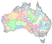
Australia's River Basins 1997 is the result of a joint State, Territory and Commonwealth Government project to create a national spatial database of major hydrological basins. It shows the boundaries of Australia's basins as defined by the Australian Water Resources Management Committee (WRMC). Australia is divided into drainage divisions which are sub-divided into water regions which are in-turn sub-divided into river basins. The data includes the name and number of each of the 245 drainage basins, 77 regions, and 12 divisions. This metadata was prepared for the eAtlas and is not authoritative. Please contact the custodian for an authoritative record. Data Location: A copy of this dataset is filed in the eAtlas enduring data repository at: data\other\AU_GA_River-basins-1997
-
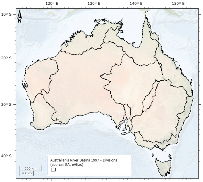
This dataset is derived from the Australia's River Basins 1997 (GA) dataset. It shows the 12 drainage divisions. Primary credit should be given to Geoscience Australia. This dataset was created by using ArcMap to dissolve polygons from the Australia's River Basins 1997 shapefile based on the DNAME attribute.