Booby Island - Torres Strait Temperature Logger (Slope Logger: BOOBYSL1)
Image
Licence

Description
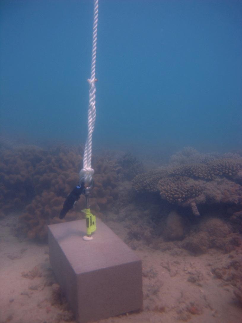
This photo shows the location of the temperature logger at Booby Island started on 03/10/2012.
GPS position: 09°08.383’S 143°52.553’E on WGS84 datum Depth: 2.0 m at mean tide. This logger may dry at LAT. Logger on a concrete block on the reef flat approx. 8m further out from the flat logger. A single rail track leads to it.