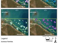
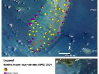
Subtidal habitat of North-West Marra Sea Country, Gulf of Carpentaria, Northern Territory, Australia - 2023 (JCU, Mabunji, CDU)
Published on
24 July 2026
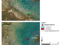
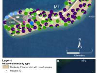
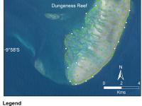
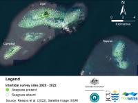
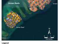
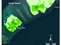
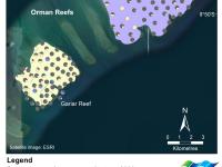
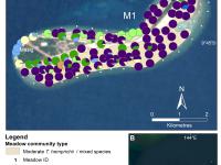
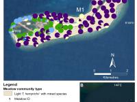
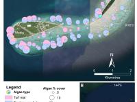
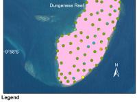
This dataset summarises subtidal benthic surveys in North-West Marra Sea Country into 1 GIS shapefile: (1) A point (site) shapefile describes seagrass presence/absence at 63 subtidal sites surveyed by vessel. Methods: The sampling methods used to study, describe and monitor seagrass meadows were developed by TropWATER and tailored to the location and habitat surveyed; these are described in detail in the relevant publications (https://research.jcu.edu.au/tropwater).