
Articles
The Sensitive Data Access Control Plan is an eAtlas form for documenting how restricted research datasets should be managed, discovered and accessed over time.
Use this form when a dataset cannot be published openly, but still needs to be described, governed and made discoverable through public metadata. The form helps project teams record why the data is sensitive, what kinds of use may be acceptable, who should be consulted about access, and how the dataset should be managed after the original project team has moved on.
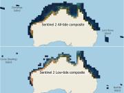
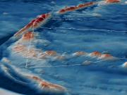
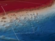
This article outlines the new NESP MaC 3.17 Sentinel-2 composite imagery for tropical Australia. It explains how thousands of Sentinel 2 images were combined to create satellite imagery optimised for studying the shallow marine environments. It covers how the composites were built, how deep they reach, and how to view or download the imagery for research or management.
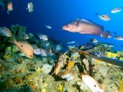
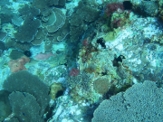
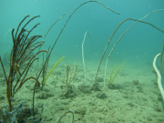
A seagrass meadow 65 km long to 9.7 m depth and extending 7–8 km from shore was discovered during benthic habitat surveys of the Limmen Marine Park and adjacent Limmen Bight Marine Park by li-Anthawirriyarra Rangers and scientists. Soft corals, hard corals and sponges also formed habitat through much of the Limmen Marine Park.
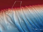
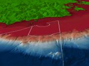
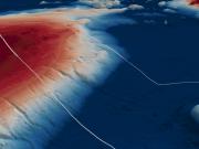
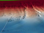
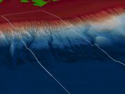
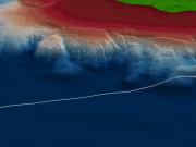
Flinders Marine Park contains soft sediment and hard substrate shelf areas, canyons, deep (mesophotic) reefs, and seamounts.
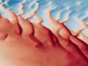
Boags Marine Park contains extensive mobile dune fields, likely dominated by crustaceans, polychaete worms and molluscs that live in and on sediments.
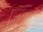
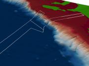
Apollo Marine Park contains sediment ecosystems, deep (mesophotic) reefs and a 5m high raised ridge feature, suspected to be deeper (rariphotic) reef habitat extending from the western park boundary to the northern park boundary