
Bramble Cay - Torres Strait Temperature Logger (Slope Logger: BRAMBLESL1)
Image
Licence

Description
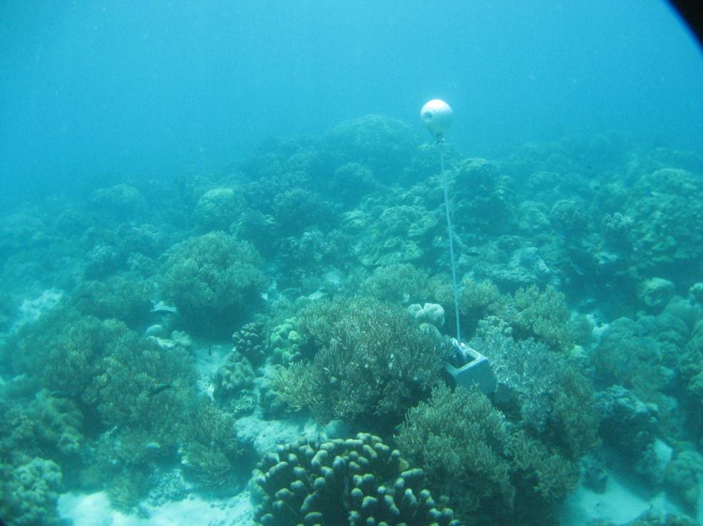
This photo shows the location of the temperature logger at Bramble Cay started on 13/12/2011.
GPS position: 09°08.383’S 143°52.553’E on WGS84 datum Depth: 3.3m m at mean tide 1.6 m at datum (Bramble Cay) Logger on a masonry block on the upper reef slope among scattered soft coral, encrusting and massive hard coral.