
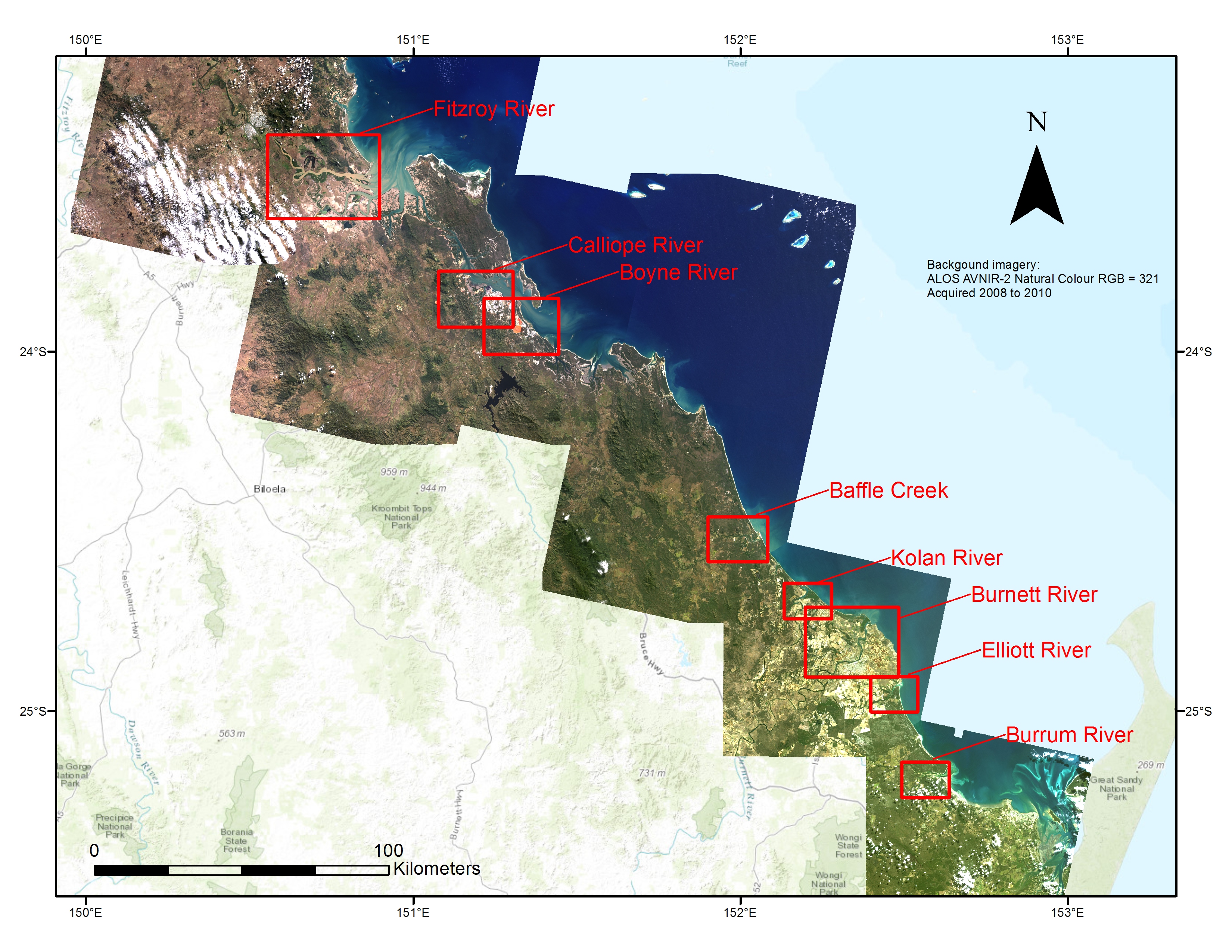
Map of NESP TWQ 2.3.4 Southern GBR study area
Image
Licence

Description
Map of the Southern GBR shoreline showing the location of the 8 estuarine systems used as case studies in NESP TWQ project 2.3.4. These include the Fitroy River, Calliope River, Boyne River, Baffle Creek, Kolan River, Burnett River, Elliott River and Burrum River.