
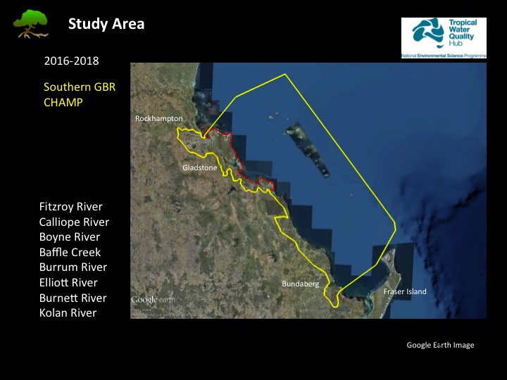
Map of Southern GBR area with list of 8 river estuaries
Image
Licence

Description
Google Earth satellite imagery of the Southern GBR Coastal Habitat Archive and Monitoring Program (CHAMP) study area (yellow line) compared to the smaller Port Curtis and Port Alma (PCPA) CHAMP study area (red line). The major estuaries in this region are listed as the case study locations throughout the region.