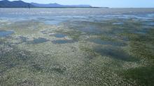
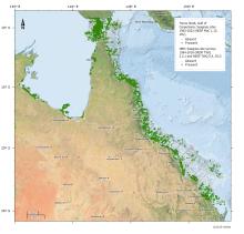
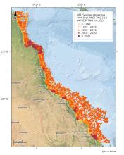
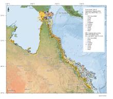
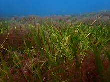
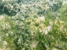
Media for project "NESP TWQ Round 5 - Project 5.4 – Deriving ecologically relevant targets to meet desired ecosystem condition for the Great Barrier Reef: a case study for seagrass meadows in the Burdekin region"
This page contains all media associated with this project. For more information about the project and its datasets please go to the project metadata record https://eatlas.org.au/data/uuid/6dc4808f-0281-4100-aa2d-91a5b707c195.
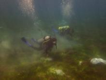
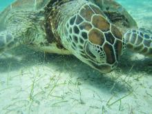
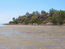
Images
Videos