
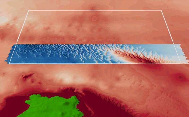
Boags Marine Park contains extensive mobile dune fields, likely dominated by crustaceans, polychaete worms and molluscs that live in and on sediments1. It covers representative areas of three bioregions. The southern third of the park has been mapped using fine scale multibeam2.
Knowledge status
Boags Marine Park has a low to medium level of knowledge.
- Fine-scale mapping of the southern end of the park has revealed seafloor features expected to occur throughout the park. No known biological surveys have been undertaken.
- There have been 3 sediment samples collected from a single survey.
- There are 6 publications, reports and data sets that reference the South east network and relate to Boags Marine Park as well as 2 publications that are specific to Boags Marine Park.
- Depth: 10m – 62m
- 30.9% of seafloor mapped, almost all at high resolution to support habitat mapping and biodiversity surveys.
Key values, habitats and communities
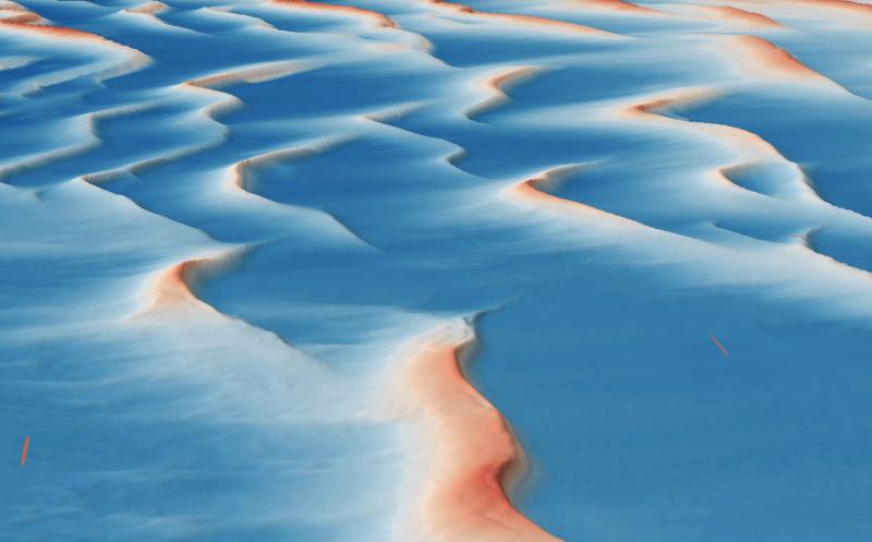
A prominent and striking feature of the Park are the extensive, mobile dune fields caused by the combination of shallow depths (40-60m) and strong-tidal currents in the area. Several of the dunes are over 10m high. These mobile dunes are unlikely to support complex sessile invertebrate communities like those observed in Beagle Marine Park, and are instead likely to be dominated by organisms that live in and on the sediments, such as polychaete worms1.
Feature of interest
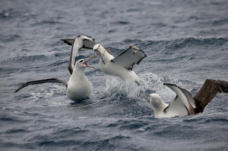
The endangered Shy Albatross (Thalassarche cauta) is an endemic Australian seabird, which breeds exclusively on three offshore Tasmanian islands. The park contains core foraging areas for early incubating and post-fledgling Shy Albatross from nearby Albatross Island3.
Key gaps
- Further understanding of foraging in the park by Shy Albatross
Key activities
- Commercial fishing
Key Pressures
- Resource extraction
- Climate change
- Underwater noise
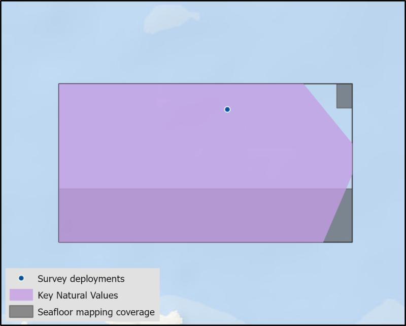
Seafloor mapping and survey deployments
Further information
State of Knowledge published Mar 2023 | References:
- (pers. comm Dr N Barrett 2018).
- CSIRO (2018). Hydrographic Survey of the Boags Commonwealth Marine Reserve in Southwestern Bass Strait.
- Mason, C et al 2018) Telemetry reveals existing marine protected areas are worse than random for protecting the foraging habitat of threatened shy albatross (Thalassarche cauta).
Key Natural Values (KNV) = Habitat or species that are particularly important to management.
Printable version: AMP - SE SOK Placemat templates (australianmarineparks.gov.au)