Baited Underwater Video System (AIMS)
Great Barrier Reef Marine Park Zoning (GBRMPA)
This map shows the abundance of Red Emperor fish found in neighbouring Blue (fished) and Green (non-fished) reefs. These measurements were taken using Baited Underwater Video System cameras. A each location on this map, multiple measurement sites were used to establish the number of fish in the area. Baited underwater cameras each recorded an hour of footage per site. This footage was then reviewed and all species observed in the footage was documented in a database.
Using this map
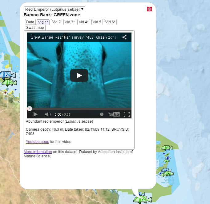
You can click on each of the measurement locations to get a selection of the underwater video footage. These videos show the 30 sec from the 1 hour of footage that contained the highest density of Coral Trout and Red Emperor. The video tabs with a * indicate that the clip is a more interesting video.
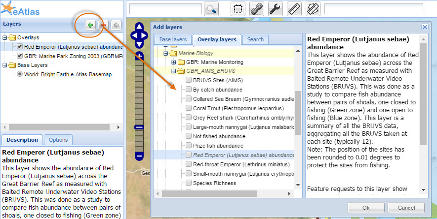
A range of species were recorded from the video footage. You can change the map to one of the other species by clicking the ![]() button to start the full interactive map viewer then adding the layer for the species of interest to the map and unchecking the original species map layer.
button to start the full interactive map viewer then adding the layer for the species of interest to the map and unchecking the original species map layer.