NESP MaC Project 6.1 - Cumulative spatial risk assessments for Australia’s marine turtles – north-west Kimberley, 2026 (WGAC)
Published on
20 August 2026
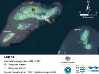
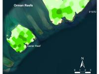
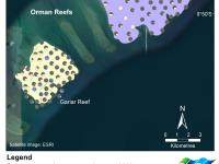
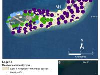
This project aims to determine where green and flatback turtles are nesting along the NW Kimberley Coastline and what pressures they face, as this region was recognised by DCCEEW as one of the six priority areas vulnerable to climate change. Using a large aerial imagery dataset captured during the 2023-2024 summer and winter nesting seasons, this project will map nesting sites and assess their vulnerability to climate threats.