Mabuiag Island - Torres Strait Temperature Logger (Flat Logger: MABUIAGFL1)
Image
Licence

Description
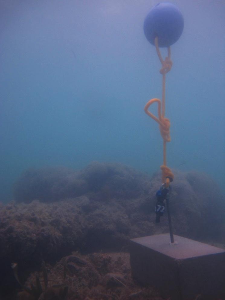
This photo shows the location of the temperature logger at Mabuiag Island started on 04/10/2012.
9°57.039’S 142°12.276’E on WGS84 datum Depth: 1.4 m at mean tide. This logger may be exposed at LAT Logger located on a concrete block on the reef flat next to a small dead bommie, close to the reef edge.