
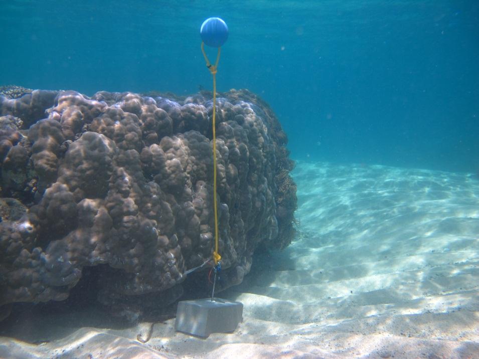
Mer Island - Torres Strait Temperature Logger (Flat Logger: MERFL1)
Image
Licence

Description
This photo shows the location of the temperature logger at Mer Island started on 05/10/2012.
GPS position: 09°54.801’S 144°02.434’E on WGS84 datum Depth: 2.3 m at mean tide 0.9 m at datum (Mer Is) Logger located on a concrete block in a sandy area on the reef flat next to a large flat Porites bommie.