
Mer Island - Torres Strait Temperature Logger (Slope Logger: MERSL1)
Image
Licence

Description
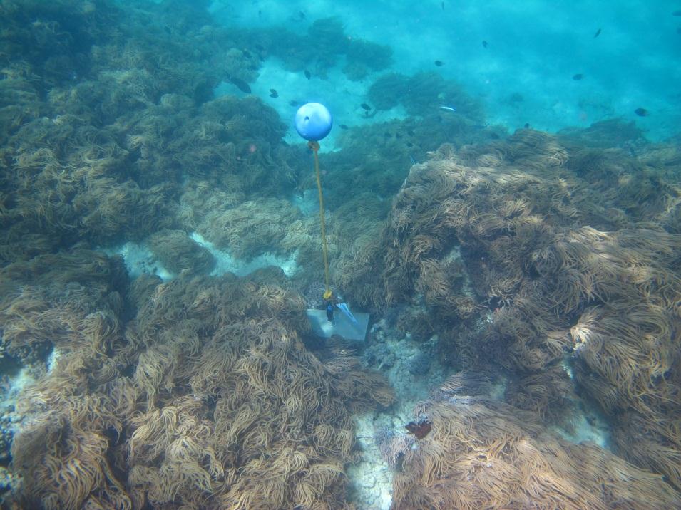
This photo shows the location of the temperature logger at Mer Island started on 05/10/2012.
GPS position: 09°54.788’S 144°02.417’E on WGS84 datum Depth: 3.8m at mean tide 2.4 m at datum (Mer Is) Logger on a concrete block just off the reef edge among soft coral.