
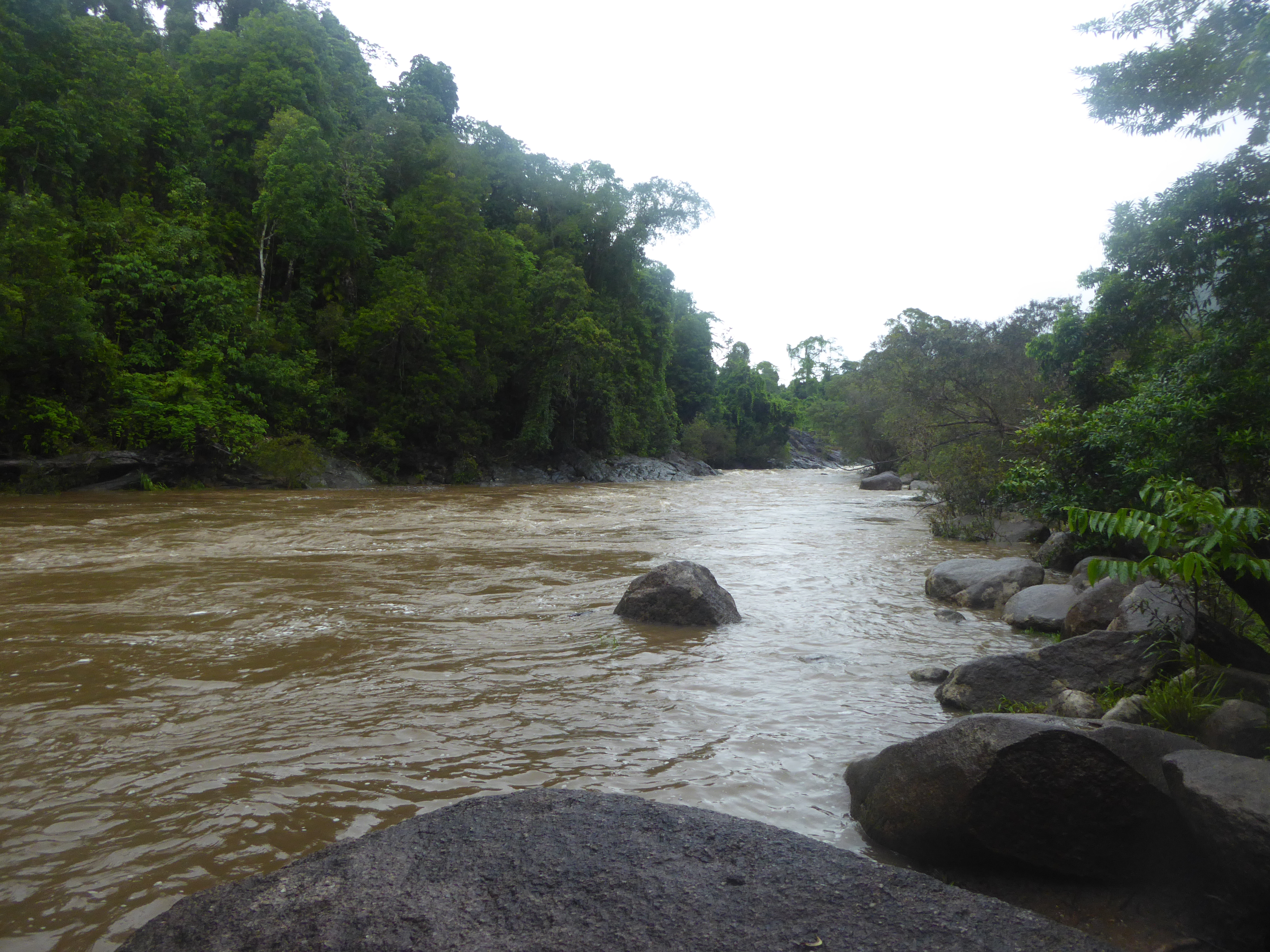
Upstream view of peak flood flows in the Russell River at the Project 25 'Golden Hole' monitoring point.
Image
Licence
©
courtesy
Aaron Davis (TropWATER)
Description
Peak flood flows at 'Golden Hole', a sampling site capturing primarily upstream 'rainforest-National Park' land use prior to flowing through canegrowing-banana land use types on the Russell River floodplain.