
286 Nerp Te Image 2 9 4
Image
Licence
©
courtesy
data from the QLUMP Project
Description
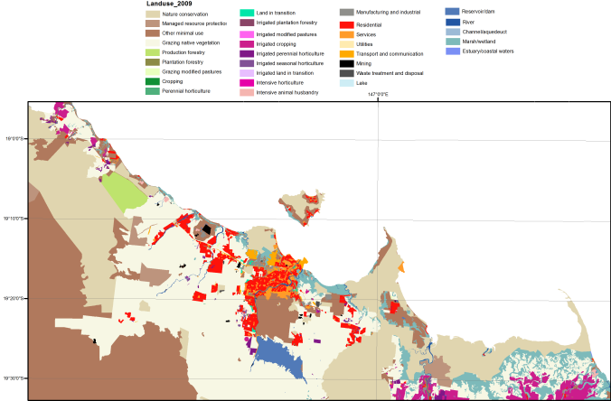
Land use and habitat mapping are used to produce coastal development scenarios to determine alternative futures for the GBR coastal zone.