
branding-menu-default

  • eAtlas
  • Regions / Sites
    • All regions - eAtlas
    • Torres Strait eAtlas
    • North West Atlas
    • SELTMP site
    • Wet Tropics Vegetation Interactive Maps
    • eReefs visualisation
  • Projects
    • NERP TE
    • MMP
    • NESP TWQ Round 1
    • NESP TWQ Round 2
    • NESP TWQ Round 3
    • NESP TWQ Round 4
    • NESP TWQ Round 5
  • Articles
  • Maps
    • Interactive Map Gallery
    • Interactive Map
  • Datasets
    • Repository Listing
  • Photos
    • Coral species photos
    • Torres Strait scenic images
  • About
    • About eAtlas
    • Content submission forms
    • Presentations
    • Contact us
  • RSS Feed

Search form

eAtlas logo white
eAtlas logo

Mer Island

© courtesy John O’Halloran

Description

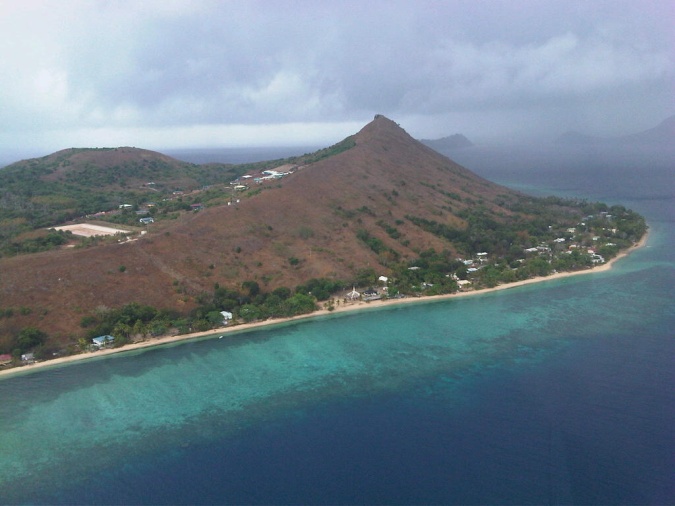
Mer Island, Torres Strait

Image produced for the project
  • NERP TE Project 11.1 - Building resilient communities for Torres Strait futures (CSIRO)

File usage

Project
  • NERP TE Project 11.1 - Building resilient communities for Torres Strait futures (CSIRO)
Login