
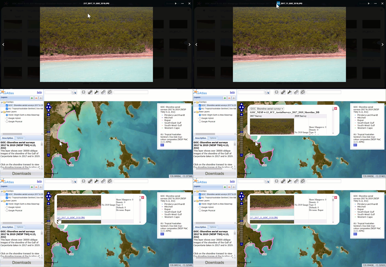
Determining the location of a photo from its Shore FID
Image
Licence
Download original image
 Dr Eric Lawrey (eAtlas (Australian Institute of Marine Science)), eAtlas (Australian Institute of Marine Science)
Dr Eric Lawrey (eAtlas (Australian Institute of Marine Science)), eAtlas (Australian Institute of Marine Science)
Description
Animation showing how to determine the Shore FID of an image from the Gulf of Carpentaria shoreline imagery, then using this to look up the location on the interactive map and from the dataset spreadsheet.