

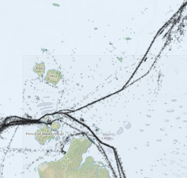
Shipping traffic in Torres Strait - Preview map
Image
Licence
Download original image
 Dr Eric Lawrey (eAtlas (Australian Institute of Marine Science)), Australian Maritime Safety Authority
Dr Eric Lawrey (eAtlas (Australian Institute of Marine Science)), Australian Maritime Safety Authority
Description
This is a preview of an interactive map showing the location of large ships travelling through Torres Strait. It shows the position of ships captured at 1 hour intervals from the Automatic Identification System (AIS) from 5th April - 22nd Aug 2013. Find out where ships really go.