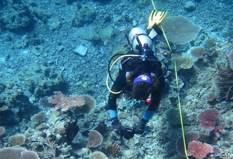
Figure 1.
The most valuable repository of scientific information on the state of the coral reefs of the Great Barrier Reef is now available online, for the first time.
The Australian Institute of Marine Science, Australia’s tropical marine research agency has released the treasure trove of reef survey data from its long-term monitoring programs dating back to 1992.
Mike Emslie, the acting leader of the AIMS Long Term Monitoring Program, said monitoring reports, maps and summaries of reef health are regularly published on the AIMS website. "Now for the first time, researchers and those interested in these reef habitats, can download the data that is used to generate the reports and data summaries"
Coral reefs and their marine life are surveyed by AIMS each year throughout the Great Barrier Reef Marine Park. The data now available for download is the from AIMS Long Term Monitoring Program and the Marine Monitoring Program, which inform reef managers, government and stakeholders about GBR reef health and status.
Mike Emslie said the time series data of reef coral cover and crown-of-thorns will be valuable as a resource for scientists for further studies and allow for robust scientific scrutiny. Data from these projects makes available the longest time series of coral data that is collected regularly, using standard methods, over a large area of the marine park.
What is the data?
Two data types are available for download
-
Reef perimeter estimates of coral cover and COTS from manta tow surveys
Manta tow surveys provide a snapshot of reef health over large spatial scales. Data is provided for reefs throughout the GBR Marine Park from 1994 to the most recent year minus one. The data provided is an aggregation of tows around each reef providing an estimate of reef level coral cover and Crown-of-Thorns Starfish outbreaks and dead coral over time.
-
Percent cover of coral, algae and other benthos from fixed site survey reefs
Data from fixed site surveys are available for two projects; the Long Term Monitoring Project and the Marine Monitoring Project associated with the Reef Plan. On fixed site surveys data is collected from transects with permanent markers on the reef slope. site level estimates allow measures of variation to be included. The data available contains an aggregate of the high level grouping (Algae, Hard Coral, Soft Coral and Other).
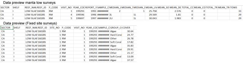
Figure 2. Preview of data downloads for the two data types: 1. Manta tow and 2.Fixed site surveys of benthos. The data downloads have a readme file with more information about the data and conditions of use.
Access to the data:
Data downloads are available from the metadata project pages which include maps of reef locations and project information. Anyone wanting to download the data just needs to fill in a simple form with their contact details and what they intend to use the data for.
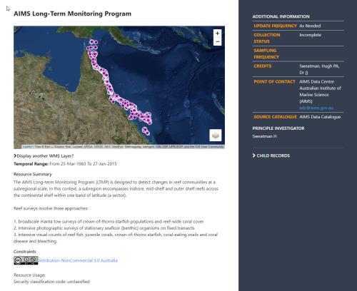
For an overview of the AIMS Long Term Monitoring Program view this record.

View the LTMP Manta Tow metadata to access data download.
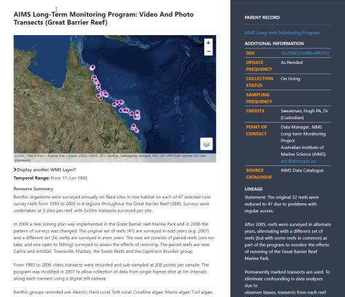
View the LTMP Photo Transects metadata to access the data download.
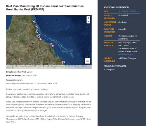
View the MMP Inshore Survey metadata to access the data download
Related content