
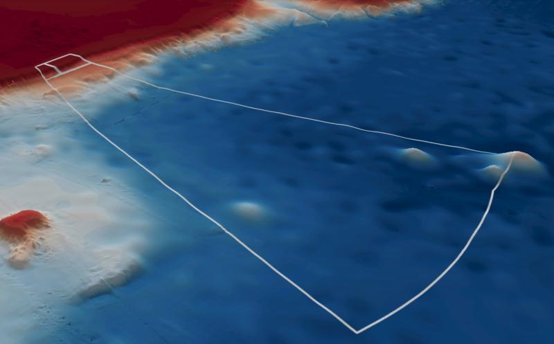
Freycinet Marine Park features sediment dominated shelf areas, a high-profile granite reef, and low profile reef ridges along the mid-shelf. All these habitats support a diverse array of invertebrate communities and fish assemblages. It covers representative areas of four bioregions.
Knowledge status
Freycinet Marine Park has a medium level of knowledge.
- Despite the small number of dedicated research voyages. Mapping and biological surveys have occurred in all identified priority areas.
- There have been 15 imagery deployments over 7 campaigns, 20 video deployments over 2 campaigns, and 71 sediment samples collected from 4 surveys.
- There are 14 publications, reports and data sets that reference the South east network and Freycinet Marine Park as well as 2 publications that are specific to Freycinet Marine Park.
- Depth: 43m – 5231m.
- 47.8% of seafloor mapped, much at medium resolution to support biodiversity surveys.
Key values, habitats and communities
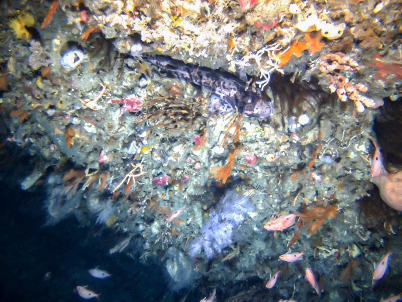
An isolated high-profile granite reef rising 20m above the surrounding seabed is covered in a diverse invertebrate fauna of sponges, gorgonian fans, mushroom corals and rare but distinctive tree-forming black corals. Unique fish communities associated with rare outcroppings of shelf break reefs are a feature of the park1.
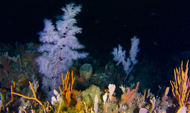
Feature of interest
Diverse mesophotic (deep) benthic communities and rare tree-forming black corals associated with granite reef features.
Monitoring priorities
Are the condition of fish communities and rock lobsters on deep (mesophotic and rariphotic) rocky reefs improving or maintained through ecologically sustainable use of the park?
Key gaps
- Additional mapping of inner shelf reefs in the parks and reference sites north of park
- Benthic communities in upper slope reefs and sediments
- Recreational fishing effort and catch in the park
Key activities
- Commercial fishing
- Recreational fishing
- Shipping
Key Pressures
- Resource extraction
- Climate change
- Underwater noise
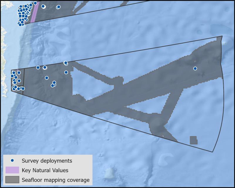
Seafloor mapping and survey deployments
Further information
State of Knowledge published Mar 2023 | References:
Perkins, N., Monk, J., Barrett, N. Analysis of a time-series of benthic imagery from the South-east Marine Parks Network. Institute of Marine and Antarctic Studies. University of Tasmania, Hobart, Tasmania.
MPA-SE-AUV-Analysis-Final-Report.pdf
Key Natural Values (KNV) = Habitat or species that are particularly important to management.
Printable version: AMP - SE SOK Placemat templates (australianmarineparks.gov.au)