
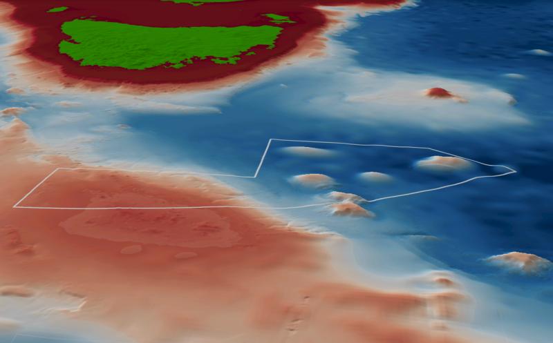
South Tasman Rise Park contains a cluster of distinctive seamounts characterised by flat tops that potentially encompass many shelf reef habitats. The seamount areas are highly productive with diverse coral assemblages, which have been the target of historical commercial fishing efforts for decades owing to their ability to support vast fish assemblages1. The park covers representative areas of the Tasmania Province bioregion.
Knowledge status
South Tasman Rise Marine Park has a low level of knowledge.
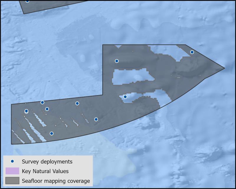
- Medium resolution mapping covers much of the park. No targeted biological surveys have been undertaken in the park.
- There have been 46 sediment samples collected from 3 surveys.
- There are 9 Publications, reports and data sets that reference the South east network and relate to South Tasman Rise Marine Park as well as 2 publications specific to South Tasman Rise Marine Park.
- Depth: 804m – 5022m.
- 77.7% of seafloor mapped, most at a medium resolution to support biodiversity surveys.
Key values, habitats and communities
No targeted research sampling of any reef associated fishes within the park, however commercial fishing target Orange Roughy (Hoplostethus atlanticus) and bycatch from these fisheries has shown a number of Oreid species occur in high abundance. Antarctic Flying Squid (Todarodes filippovae) have also been caught as part of research within the park1,2.
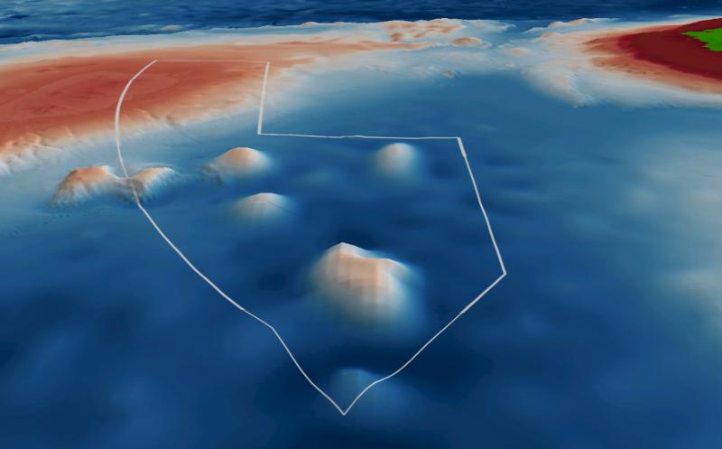
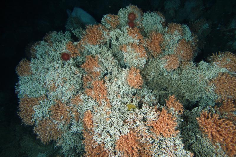
A cluster of seamounts situated within South Tasman Rise are inhabited by deep-sea coral communities, forming vast habitats that provide refuge and foraging grounds for crustaceans, squid and large fish assemblages1,2. These communities include coral communities include scleractinians, golden corals, bamboo corals, black corals and soft corals1.
Key gaps
- Fine scale multibeam mapping of identified key priority areas
- Characterise benthic communities and demersal fish communities on priority areas
Key activities
- Commercial fishing
Key Pressures
- Resource extraction
- Climate change
Seafloor mapping and survey deployments
Further information
State of Knowledge published Mar 2023 | References:
- Anderson & Clark. 2003. Analysis of bycatch in the fishery for orange roughy, Hoplostethus atlanticus, on the South Tasman Rise
- Pethybridge et al. 2013. The foraging ecology of an oceanic squid, Todarodes filippovae: The use of signature lipid profiling to monitor ecosystem change
Key Natural Values (KNV) = Habitat or species that are particularly important to management.
Printable version: AMP - SE SOK Placemat templates (australianmarineparks.gov.au)