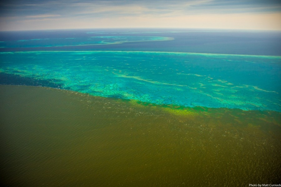
Burdekin River flood plume covering Old Reef, February, 2019

Description
This image shows the flood waters from the Burdekin river reaching Old Reef during February 2019. A stationary moonsoon over the Burdekin catchment lead to a huge flood plume that was blown out on to the mid-shelf reefs. This is unusual as the winds usually blow flood plumes back on to and along the Queensland coast. In this case the winds shifted for a few days blowing the plumes eastward on to the reefs. Satellite images of the flood plume show that the plume extended out more than 100 km from the coast. An animation of this flood plume can be seen on the AIMS eReefs site; look at the salinity map. The wind changes direction around the 12th February. The Bureau of Meteorology developed a special report on this rain event.
Support for the aerial footage was provided by TropWATER JCU, the Marine Monitoring Program - Inshore Water Quality through the Great Barrier Reef Marine Park Authority, the Queensland Government, the Landholders Driving Change project led by NQ Dry Tropics, CSIRO and the National Environmental Science Program Tropical Water Quality Hub.


