Seagrass meadows: Zostera muelleri

Photographers: Eric Lawrey
Description
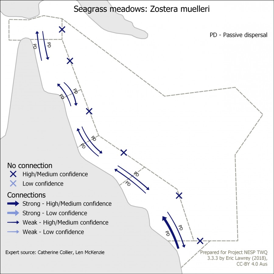
This map shows the connectivity of Seagrass meadows: Zostera muelleri in the Great Barrier Reef and its surrounding areas: Torres Strait, Coral Sea and Great Sandy regions. The arrows indicate the strength and nature of the connection between the regions. This map is intended to identify where one region is dependent on a neighbouring region.
Additional notes: This is predominantly temperate species which reaches distribution al northern limit in Torres Strait, so importence of weak connectivity from south to north. Vulnerable population in lower latitudes. Most connectivity is passive dispersal although megaherbivore may assist to a lesser degree.
The data for this map was developed based on expert opinion (Catherine Collier, Len McKenzie).
Image produced for the project
Photo galleries


