
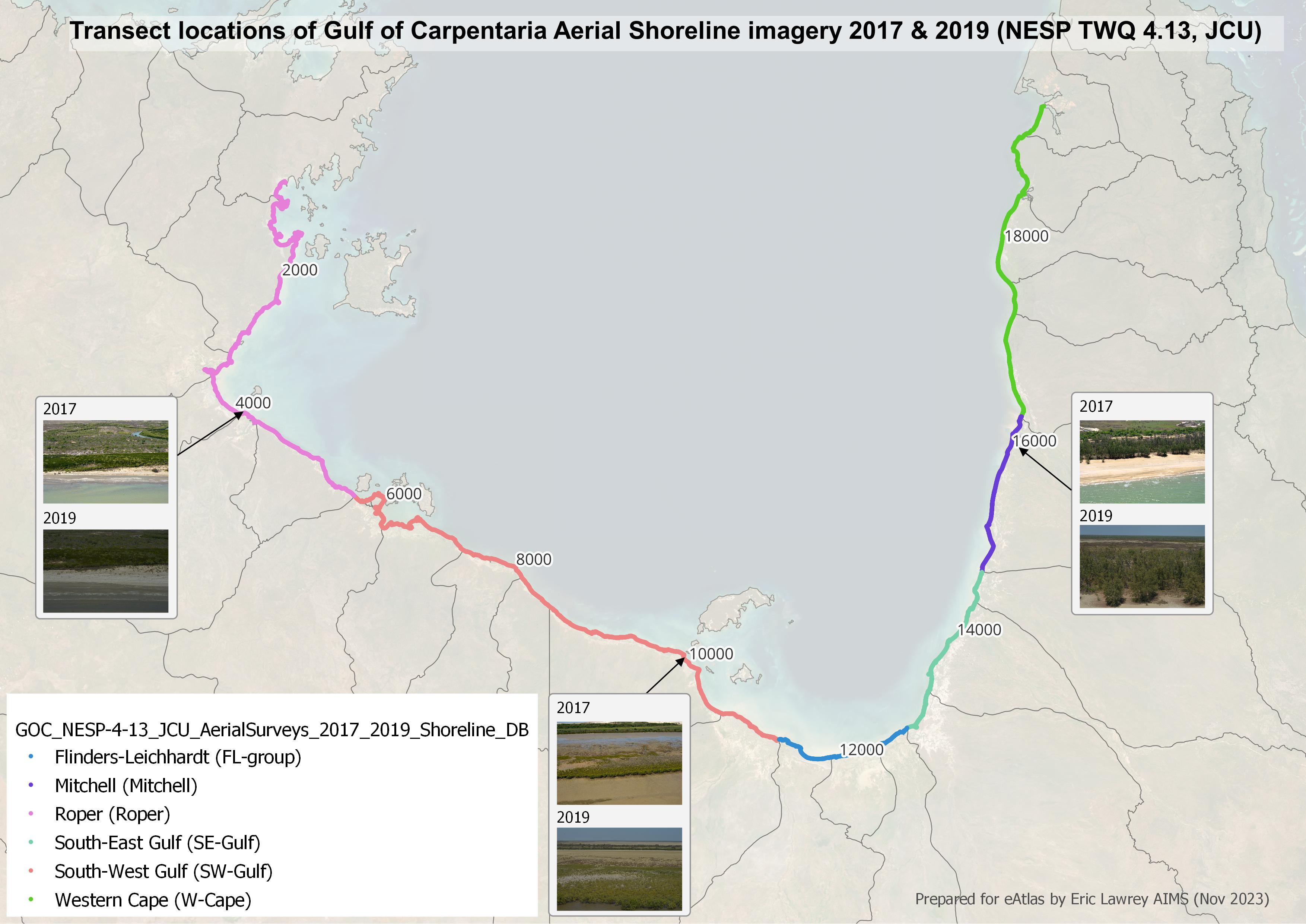
Transect location of Gulf of Carpentaria Aerial Shoreline imagery
Image
Licence
Download original image
 Dr Eric Lawrey (eAtlas (Australian Institute of Marine Science)), eAtlas (Australian Institute of Marine Science)
Dr Eric Lawrey (eAtlas (Australian Institute of Marine Science)), eAtlas (Australian Institute of Marine Science)
Description
This map shows the extent of the shoreline aerial imagery. The numbers on the map indicate the Shore FID of each location along the transect and the different colours represent the grouping of the imagery into different regions. The interactive map allows users to view each location, shown as dots on the map corresponding to an image of the shore.