Cyclone Yasi satellite image maps - before and after

Cyclone Yasi

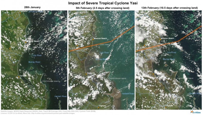
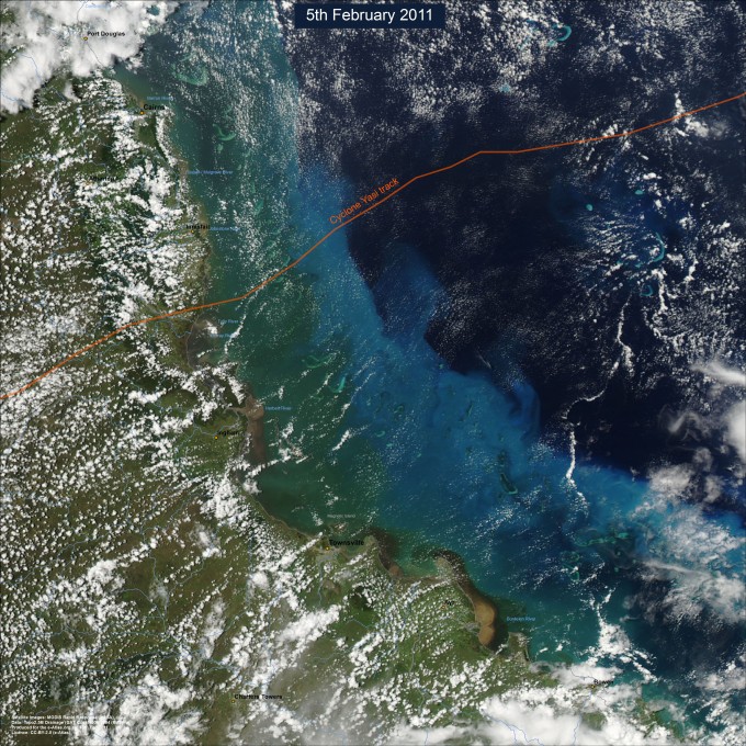
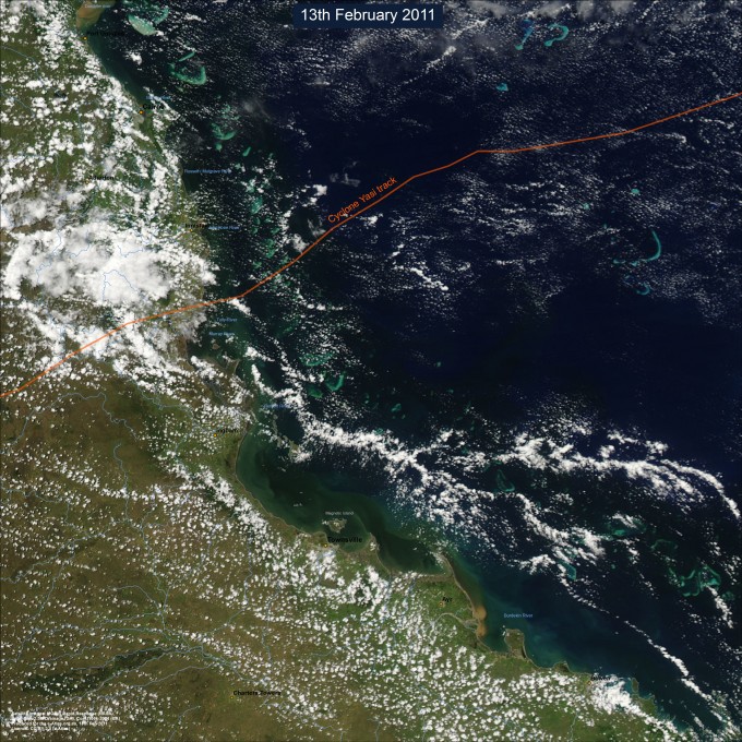
Severe Tropical Cyclone Yasi crossed the Queensland coast near Mission Beach on the night of the 2nd February 2011. This page shows satellite images (from NASA's MODIS satellites) of the disturbance to the Great Barrier Reef, damage to the vegetation in Mission beach and Cardwell area and flood plumes along the North Queensland coast.

Satellite images (NASA MODIS) of Mission beach to Cardwell before and after cyclone Yasi

North Queensland Maps

Click on the maps to see a high resolution version.

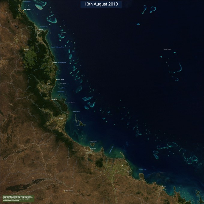
North Queensland Coast and Great Barrier reef from MODIS satellite imagery (13th August 2010) seen on a clear day.


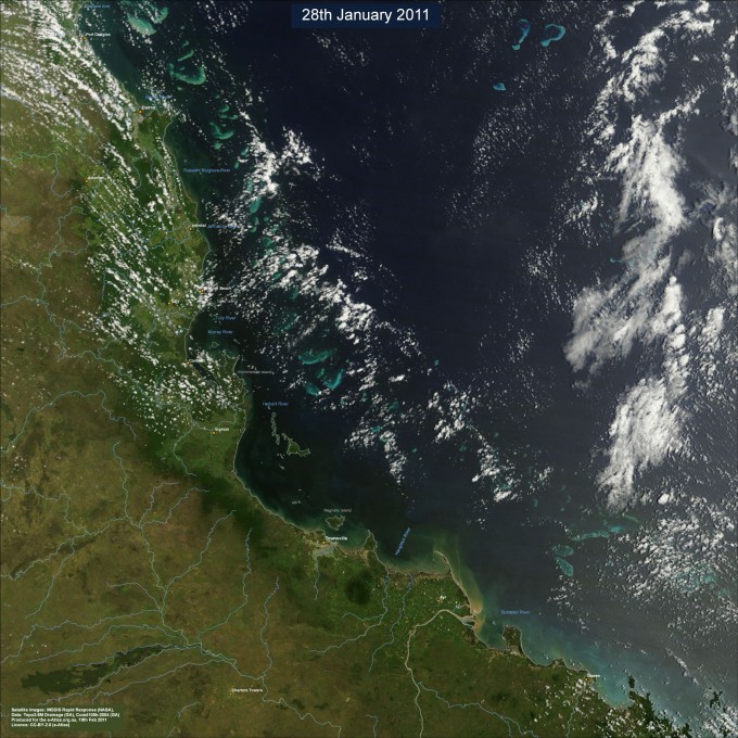
Satellite image of North Queensland (on 28th February 2010) 5 days prior to cyclone yasi


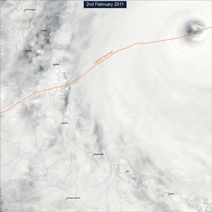
Severe Tropical Cyclone Yasi (MODIS satellite image) on 2nd February 2011 as it approaches the coast


North Queensland coast and Great Barrier Reef as seen from space 2.5 days after cyclone Yasi crossed the coast.


North Queenland coast from MODIS satellite images 10 days after cyclone Yasi made landfall

You can download the data, imagery behind the maps in this article.