
Media for project "NERP TE Project 13.1 - eAtlas (AIMS)"
This page contains all media associated with this project. For more information about the project and its datasets please go to the project metadata record https://eatlas.org.au/data/uuid/f55b4dbc-a944-4246-ba12-d6e5110dd8c7.
Images
Articles

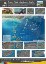
This poster map shows satellite and aerial imagery of Torres Strait. It also shows the Australia Maritime Boundariers in the region. This region neighbours with Papau New Guinea resulting in complex maritime boundaries.
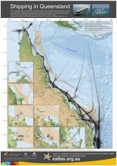
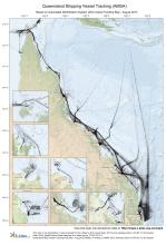
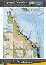
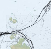
This map shows the density of shipping traffic as measured by the Automatic Identification System (AIS). Each black dot on the map represents a reading of a vessel location taken each hour over a 3 month period in 2013. AIS is fitted to all large ships (cargo ships, container ships, bulk carriers, tankers, etc) and ferries (more than 12 passengers) and is optional for smaller recreational vessels.
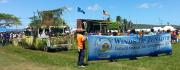
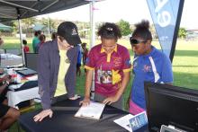
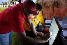
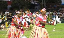
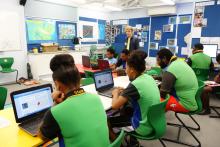
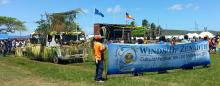
The Winds of Zenadth Cultural Festival takes place every two years on Thursday Island.
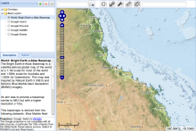
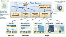
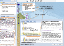
This presentation provides a technical overview of the e-Atlas. It outlines a brief introduction to the e-Atlas, a demonstration of the mapping system and an outline of each of the software systems that make up the architecture of the e-Atlas.
This presentation provides a general overview of the e-Atlas, its background, role, what you will find in the e-Atlas and the value of bring spatial data together in one platform. This was presented to the Department of the Environment in April 2014.
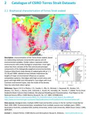
This milestone report presents a catalogue of information for the most significant and updated data sets, metadata and map compositions for the Torres Strait region, which may be suitable for inclusion in the Torres Strait eAtlas.