
Latest environmental research, maps and data for Torres Strait
Recent articles and projects
Published on
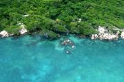
The Land and Sea Management Strategy for Torres Strait (2016-2036) (‘the Strategy’) is a guiding framework for enabling Torres Strait Islander and Aboriginal people to continue to sustainably manage and benefit from their land, sea and cultural resources into the future.
Published on
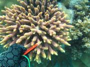
In 2013 and 2014 AIMS undertook a biodiversity survey of coral and fish species on the reefs around 5 islands in Torres Strait. This article shows the coral photo collection that was taken for species identification.
Published on
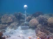
As part of the NERP TE project 2.3 temperature loggers were deployed at 15 sites across the Torres Strait to measure ocean temperature.
Published on

This poster map shows satellite and aerial imagery of Torres Strait. It also shows the Australia Maritime Boundariers in the region. This region neighbours with Papau New Guinea resulting in complex maritime boundaries.
Published on
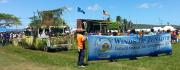
The Winds of Zenadth Cultural Festival takes place every two years on Thursday Island.
Recent datasets
Torres Strait Seagrass Surveys Collection (TropWATER, JCU)
Published on
13 August 2021
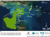
This data collection is the common entry point for the intertidal and subtidal benthic seagrass survey datasets of Torres Strait produced by the Centre for Tropical Water & Aquatic Ecosystem Research (TropWATER), James Cook University. For almost two decades the TropWATER Seagrass Group, in collaboration with the Torres Strait Regional Authority (TSRA) Land and Sea Management Unit (LSMU), has mapped and monitored the seagrass meadows of Torres Strait, revisiting one or more regions each year.
Western Torres Strait Seagrass Survey, Torres Strait, September 2020 (TropWATER, JCU)
Published on
13 August 2021
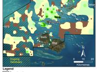
This dataset summarises benthic surveys of Western Torres, Torres Strait in December 2020 into 3 GIS shapefiles: (1) The site shapefile describes (a) seagrass presence/absence, (b) species composition, (c) algae cover and (d) benthic macro-invertebrate cover at 542 sites. (2) The meadow shapefile describes subtidal seagrass communities. (3) The interpolation shapefile describes variation in subtidal seagrass biomass across the survey area.
Eastern Torres Strait Seagrass Survey, Torres Strait, September 2020 (TropWATER, JCU)
Published on
13 August 2021
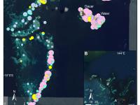
This dataset summarises intertidal benthic surveys of the Eastern Cluster, Torres Strait, in September 2020 into 3 GIS shapefiles. (1) The site shapefile describes (a) seagrass presence/absence, (b) species composition, (c) algae cover and (d) benthic macro-invertebrate cover at 798 sites. (2) The meadow shapefile describes seagrass communities for the intertidal meadows. (3) The interpolation shapefile describes variation in seagrass biomass across sites for the intertidal meadows.
Locations of Torres Strait Protected Zone and PNG Treaty Villages (AIMS)
Published on
12 April 2021
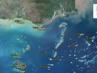
This dataset consists of a small CSV file containing the locations, names and country of the Torres Strait villages associated with the Australian and Papua New Guinea Treaty Protected Zone and neighbouring PNG Treaty villages This dataset is intended for the creation of regional maps. The village locations are not official and were based using satellite imagery to place the village marker on either the centre of the visible village, or the post office location, if that was marked in Google Maps.
eReefs BioGeoChemical model regridded temporal aggregation data service - daily, monthly, annual (AIMS, source: CSIRO)
Published on
18 August 2020
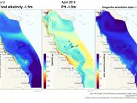
This service provides generated summaries (daily, monthly, annual) of the eReefs CSIRO biogeochemistry model v3.1 (https://research.csiro.au/ereefs) outputs at 4km resolution as a Thredds data service. This provides the data as an OPeNDAP service and as NetCDF files (https://thredds.ereefs.aims..../thredds/). The processing is provided by the AIMS eReefs Platform (https://ereefs.aims.gov.au/ereefs-aims).