Articles
This presentation provides an introduction to the concepts needed by content editors of eAtlas.

The Winds of Zenadth Cultural Festival takes place every two years on Thursday Island. The festival is a community event that brings people together and showcases the strength and diversity of the Torres Strait people’s culture and customs.
The eAtlas information stall at the festival in September 2014, provided an opportunity for the community to try out the mapping and visualisation tools and to get familiar with the look and feel of the site. The most important message for the community was that the Torres Strait eAtlas is an internet site that is free for everyone to use.
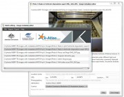
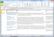
This page is deprecated. Please follow the Submitting data to the eAtlas. This page is retained for historic purposes.
Original article:
Over the life of the NERP TE program each project is required to complete a metadata describing the project itself and metadata records describing each of the dataset produced by the project.
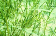
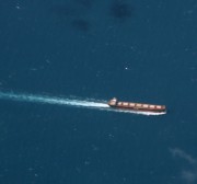

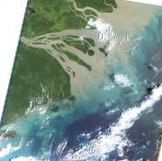
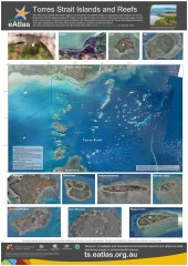
The Torres Strait marine environment contains a relatively shallow (<20m) and highly productive stretch of seawater between the tip of Queensland and Papua New Guinea. It straddles the juncture of the Indian Ocean (Arafura sea) with the Pacific Ocean (Coral Sea), resulting in complex patterns of influence from the two ocean systems, including complicated tides and currents, and high biodiversity. Torres Strait contains over 100 islands, and a diversity of marine habitats including coral reefs, seagrass meadows, and rich benthic garden communities.


