
Articles
Published on
Image
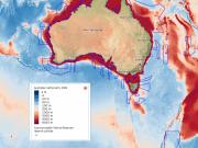
Compare how deep the waters are within and between the Australian Marine Parks.
Published on
Image
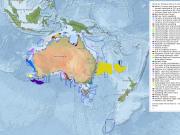
See which habitats, features and processes scientists consider particularly important for biodiversity and ecosystem health.
Published on
Image
Interactive map displays stereo-video imagery collected for the Barossa Environmental Baseline Study 2015, Western Australia.
Published on
Image
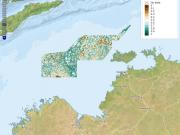
Environment Australia is tasked with managing the networks of Commonwealth Marine Reserves (CMRs).
Published on
Image
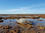
Where do flatback turtles go after nesting in the Kimberley marine region
Published on
Image
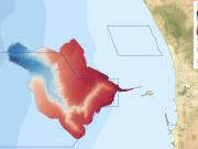
Fine scale bathymetry information is available for the Perth Canyon in the Perth Canyon Marine Park
Published on
Image
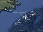
See how new-age robots record data on the physical properties of the ocean at Bremer Bay Marine Park
Published on
Image
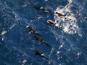
Developing the first regional picture of megafauna distribution patterns in the Bremer region
Published on
Image
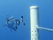
Surveying large oceanic fishes and sharks in the Bremer Marine Park region for scientific monitoring
Published on
Image
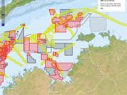
Australia’s marine industries are worth more than $50 billion a year.
Published on
Image
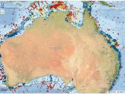
Environment Australia is tasked with managing the networks of Commonwealth Marine Reserves. This is particularly challenging in the remote and poorly known N and NW regions. Researchers from Australia's NESP Marine Biodiversity Hub's D1 project highlight five key environmental variables that may help predict biodiversity patterns across these regions.
Published on
Image
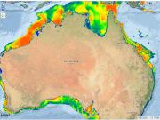
Bottom current velocity can affect abundance and biodiversity of benthic fauna by altering disturbance regimes, changing available habitats, and regulating nutrient flows.
Published on
Image
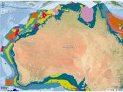
Geomorphologic features are categorical descriptors of the shape of the seabed that range in scale from thousands of km2 (e.g.
Published on
Image
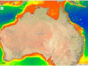
Chlorophyll-a can be estimated at continuous broad scales in the top layers of the ocean via satellite imagery (note this is different from chlorophyll-a in sediments).
Published on
Image
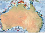
Sediment grain-size is often assumed to be a key driver of infaunal communities (McArthur et al.
Published on
Image
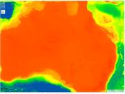
Depth is a consistently powerful explanatory variable in benthic studies (Gray 2001) due to its association with a range of other factors directly affecting abundance, biomass, and biodiversity (e.g.
Published on
Image
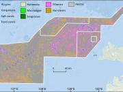
Environment Australia is tasked with managing the networks of Commonwealth Marine Reserves (CMRs).
Published on
Image
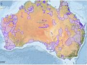
Native title is the recognition in Australian law that some Indigenous people continue to hold rights to their land and waters, which come from their traditional laws and customs.
Published on
Image
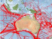
The map below shows the location of all multibeam bathymetry (shaded red) currently held by Geoscience Australia (GA) as of 2016 (see the metadata record).