
Articles
Published on
Image
Australia is the fifth largest user of shipping in the world with more than 11,000 vessels from 600 overseas ports visiting Australia's 65 major ports each year.
Published on
Image
As an island continent, Australia has sovereign rights over a vast area of ocean, along with the fishery, mineral, and petroleum resources found in that area.
Published on
Image
The type, size and distribution of sediments on the seabed plays an important role in determining the suitability of a given area for settlement by benthos.
Published on
Image
Dusky whaler sharks are widely distributed throughout the world's tropical and warm temperate waters (watch a video). This includes NW Australia's Oceanic Shoals CMR.
Use the interactive map below to explore the home range of these sharks within and beyond the CMR. How to use the map Click on this icon at the top left of the map to see a full screen version.
Click on this icon also at the top left of the map to zoom in closer to (+) or further from (-) the map.
Published on
Image
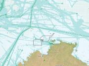
Australia is the fifth largest user of shipping in the world with more than 11,000 vessels from 600 overseas ports visiting Australia's 65 major ports each year.
Published on
Image
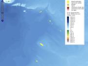
Submerged reefs and shoals are important features of the North West Marine Region of Australia due to their diverse and often unique benthic (e.g., corals, sponges) and fish biodiversity.
Published on
Image
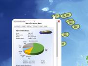
Submerged reefs and shoals are important features of the North West Marine Region of Australia due to their diverse and often unique benthic (e.g., corals, sponges) and fish biodiversity.
Published on
Image
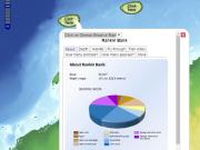
Find out what scientists have learned about Glomar Shoal and Rankin Bank via field surveys by clicking on the interactive map to see maps, videos and reports.
Published on
Image
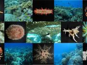
See what's happening during biodiversity month in Australia's unique north west marine region.
Published on
Image
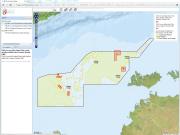
Find out where scientists have surveyed the Oceanic Shoals Australia Marine Park in detail, and what they have learned.
Published on
Image
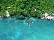
The Land and Sea Management Strategy for Torres Strait (2016-2036) (‘the Strategy’) is a guiding framework for enabling Torres Strait Islander and Aboriginal people to continue to sustainably manage and benefit from their land, sea and cultural resources into the future.
Published on
Image
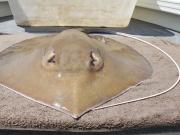
A new species of giant stingray is named and described from northern Australia
Published on
Image
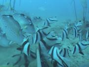
This map shows the abundance of Red Emperor fish found in neighbouring Blue (fished) and Green (non-fished) reefs. These measurements were taken using Baited Underwater Video System cameras.
Published on
Image
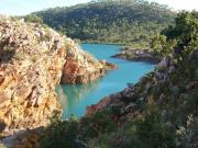
To-date, little attention has been paid to the social values associated with marine parks. However, understanding peoples’ needs and values is essential for effective marine park planning and management.
Published on
Image
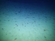
A discovery voyage into the deep, dark and crushing world 4000 metres below the sea surface
Published on
Image
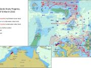
Scientists from the Australian Institute of Marine Science, CSIRO and the WA Museum continue their exploration of the tropical waters of north-west Australia’s remote Kimberley region.
Published on
Image
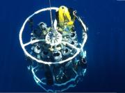
The ocean's colour is a reflection of its composition. Researchers, currently at sea, are measuring Kimberley seawater to see how accurately remote measurements (e.g. satellite imagery) reflect ocean composition.
Published on
Image
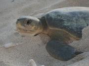
Discover what's on the menu for flatback turtles in the Kimberley marine region of NW Australia
Published on
Image
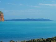
In a remote marine environment, dominated by gushing tides and swirling waters, diverse and unique marine communities have remained hidden until now…
Published on
Image
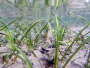
This map shows the extent of the seagrass meadows on the Great Barrier Reef based on two datasets. It shows the inshore seagrass distribution and the deep water seagrass mapping by the Seabed Biodiverity project.