Articles
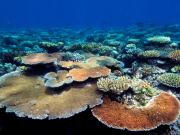
How to access and use Coral Reef data for your research - Friday May 10, Moreton Island Note: This workshop is now finished, however, the training manuals and resources are available for download below. This workshop aimed to assist the scientific community to discover, access, download, use and understand the potential of the data being collected by a number of agencies on and around Coral Reefs. This includes IMOS and AIMS long term monitoring environmental and ecological data sets. Since 2007, IMOS has been routinely operating a wide range of observing equipment throughou
This presentation provides an introduction to the concepts needed by content editors of eAtlas.
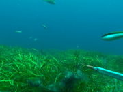
Sponge taxonomy is difficult and challenging, it requires adequate laboratory facilities, experience and time, which are often not available.