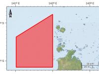
Torres Strait Seagrass Surveys Collection (TropWATER, JCU)
Published on
13 August 2021
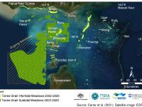
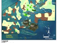
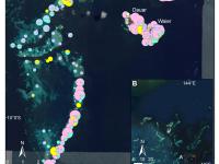
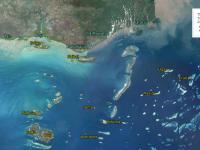
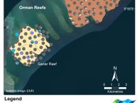
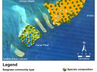
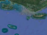
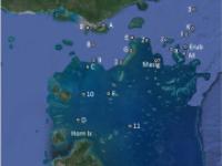
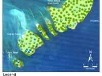
This data collection is the common entry point for the intertidal and subtidal benthic seagrass survey datasets of Torres Strait produced by the Centre for Tropical Water & Aquatic Ecosystem Research (TropWATER), James Cook University. For almost two decades the TropWATER Seagrass Group, in collaboration with the Torres Strait Regional Authority (TSRA) Land and Sea Management Unit (LSMU), has mapped and monitored the seagrass meadows of Torres Strait, revisiting one or more regions each year.