Four Decades of Seagrass Spatial Data from Torres Strait and Gulf of Carpentaria (NESP MaC 1.13, TropWATER JCU)
Published on
18 November 2022
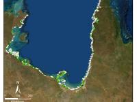
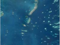
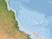
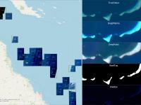
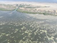
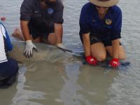
This dataset summarises 40 years of seagrass data collection (1983-2022) within Torres Strait and the Gulf of Carpentaria into two GIS shapefiles: (1) a point shapefile that includes survey data for 48,612 geolocated sites, and (2) a polygon geopackage describing seagrass at 641 individual or composite meadows. Managing seagrass resources in northern Australia requires adequate baseline information on where seagrass is (presence/absence), the mapped extent of meadows, what species are present, and date of collection.