NESP MaC Project 1.14 - The role of dugong and turtle grazing in Torres Strait seagrass declines, 2021-2022 (JCU)
Published on
22 September 2021
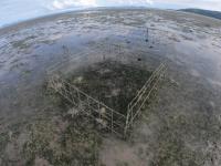
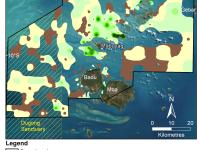
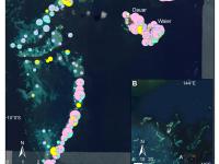
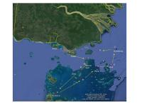
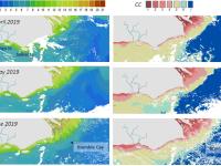
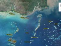
This record provides an overview of the NESP Marine and Coastal Hub small-scale study - "The role of dugong and turtle grazing in Torres Strait seagrass declines". For specific data outputs from this project, please see child records associated with this metadata. Dramatic declines in seagrass meadows in the Torres Strait Western Cluster were recorded in 2019 and 2020. These meadows are culturally important and represent significant foraging grounds for green turtles and dugongs.