GBR benthic light (bPAR) from ocean colour, 2002-2019 (NESP TWQ 5.3, AIMS, Go2Q Consulting and JCU)
Published on
06 October 2020
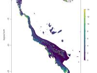
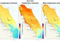
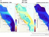
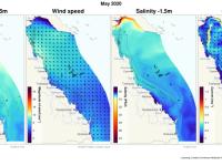
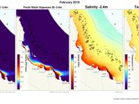
This dataset contains estimated daily integrated benthic photosynthetically active radiation (bPAR) in the Great Barrier Reef Marine Park and Coral Sea for each day from July 2002 through to December 2019. Data are provided on a 1km grid. The amount of light available for photosynthesis (photosynthetically active radiation, or PAR) is an important determinant of ecosystem health. PAR reaching the bottom of the water column is known as benthic PAR (bPAR). Where there is sufficient light reaching the bottom, seagrasses and corals may thrive.