Physiological effects of climate change and diuron on calcareous algae Halimeda opuntia (NESP TWQ 2.1.6, AIMS)
Published on
16 January 2019
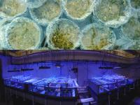
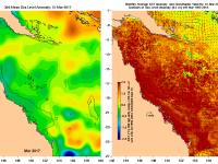
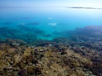
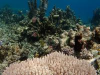
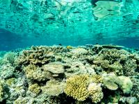
This dataset consists of two data files (spreadsheets) from a 15 days experiment simulating the combined effects of climate change (manipulated temperature and pCO2 from present days and predicted for 2050 and 2100) and diuron contamination. Photosynthetic parameters were used to evaluate the physiological responses of Halimeda opuntia. Endpoints related to photosynthesis have high ecological relevance, once this physiological process is pivotal for algae health and survival.