Collation of spatial seagrass data (meadow extent polygons, species presence/absence points) from 1984 - 2014 for the Great Barrier Reef World Heritage Area (GBRWHA) (NESP TWQ 3.1, TropWATER, JCU)
Published on
03 June 2016
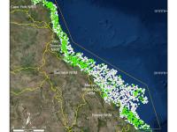
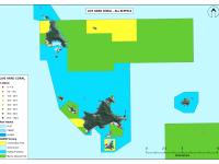
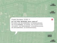
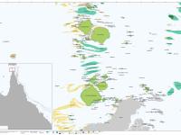
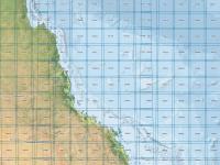
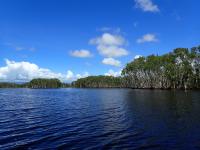
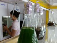
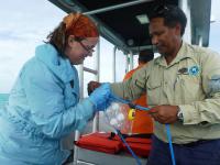
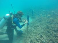
This dataset summarises 30 years of seagrass data collection (1984-2014) within the Great Barrier Reef World Heritage Area. The Site data describes seagrass at 66,210 sites; while the Meadow data describes seagrass at 1,169 individual or composite meadows. The data includes information on species, meadow type and age and reliability of the data. The dataset is available as shapefiles, GIS layer packages, and/or a CSV file. Data represented in this dataset has been collected by the TropWATER Seagrass Group and CSIRO in a GIS database.