NESP TWQ Project 3.2.4 - Defining, assessing and monitoring Great Barrier Reef aesthetics, 2017-2017 (CSIRO)
Published on
22 January 2017
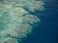
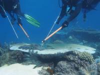
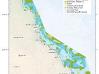
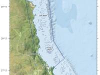
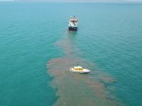
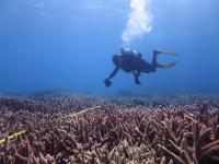
A key criteria for inscription of the Great Barrier Reef as a World Heritage Area is Criteria (VII) – exceptional natural beauty & aesthetic importance. Our project will work across social and ecological disciplines to identify, for the first time, indicators that will enable managers to measure and monitor aesthetic values for the GBRWHA.