Toxicity of three insecticides and two fungicides to Acropora tenuis coral larvae (NESP TWQ 3.1.5, AIMS)
Published on
13 March 2020
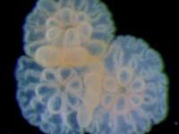
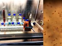
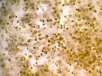
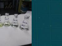
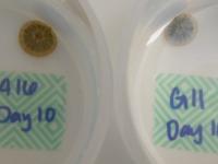
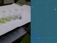
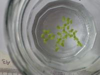
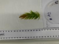
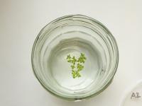
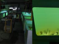
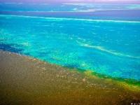
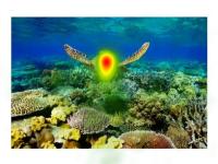
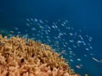
This dataset shows the effects of three insecticides (diazinon, fipronil, imidacloprid) and two fungicides (chlorothalonil, propiconazole) on larval metamorphosis in the coral Acropora tenuis. These five pesticides have been detected in the Great Barrier Reef lagoon and/or catchments. Settlement assays were conducted in Nov-Dec 2016 and Nov 2017. The aim of this research is to add toxicity data for inclusion into water quality guidelines.