NESP TWQ Project 2.1.3 - Harnessing the science of social marketing and behaviour change for improved water quality in the GBR: an action research project, 2016-2018 (JCU)
Published on
22 January 2016
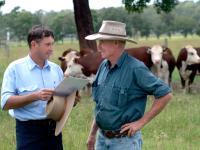
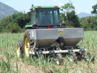
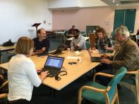
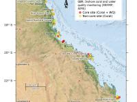
Working in partnership with staff from the Australian Government’s Department of the Environment (DotE), and the Queensland Government’s Departments of Science Information Technology and Innovation (DSITI) and Environment Heritage and Protection (DEHP), this project will use data collected from land managers and elsewhere to critically evaluate the way water quality (WQ) improvement programmes are ‘marketed’.