Satellite Tracking of Dugongs and Green Turtles in Torres Strait and Shoalwater Bay (NERP TE 1.2, 2.1, JCU)
Published on
12 February 2015
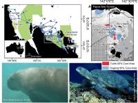
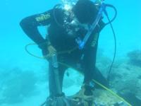
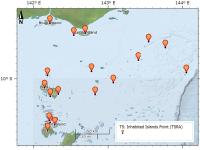
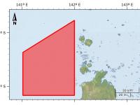
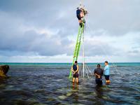
This dataset consists of the home ranges and satellite tracks taken from eleven dugongs and ten green turtles. Methods: Fast-acquisition satellite telemetry was used to track eleven dugongs and ten green turtles at two geographically distinct foraging locations in Queensland, Australia to evaluate the inter- and intra-species spatial relationships and assess the efficacy of existing protection zones. Home-range analysis and bathymetric modeling were used to determine spatial use and compared with existing protection areas using GIS.