Investigations into the use of benthic foraminifera as indicators for water quality on the Great Barrier Reef (MTSRF Project 3.7.1)
Published on
17 September 2015
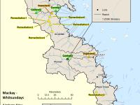
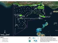
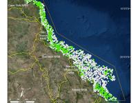
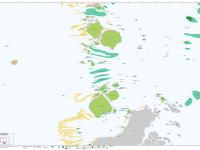
Sediment samples for foraminiferan community analysis were collected from 20 reefs located between 13.5°S and 20.5°S within the Great Barrier Reef. Most of these reefs are inshore fringing reefs which can be grouped into three distinct geographical regions: eight reefs of the Whitsunday area (collected in August 2004), four reefs from Princess Charlotte Bay, and four from the Wet Tropic area (both collected in October 2004).